Download
1 / 17
170 likes | 183 Vues
This update highlights the progress and results of the Danube regional multi-hazard model suite, including improved hazard mapping, completed flood models, stakeholder workshops, and communications conducted and planned.

E N D
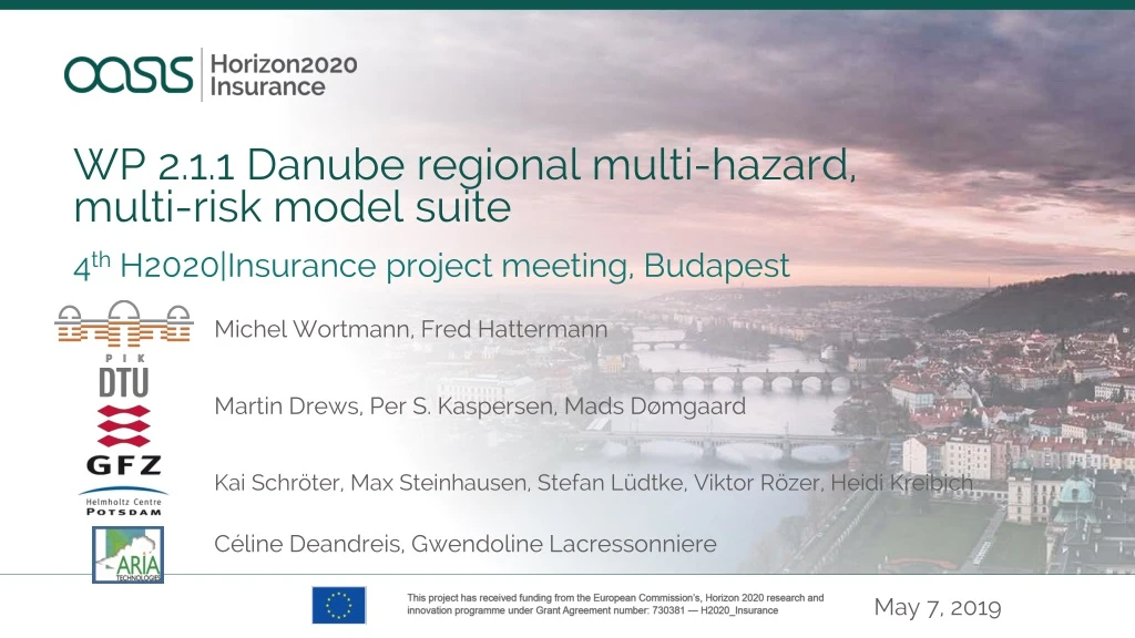
WP 2.1.1 Danube regional multi-hazard, multi-risk model suite Kai Schröter, Max Steinhausen, Stefan Lüdtke, Viktor Rözer, Heidi Kreibich May 7, 2019 4th H2020|Insurance project meeting, Budapest Michel Wortmann, Fred Hattermann Martin Drews, Per S. Kaspersen, Mads Dømgaard Céline Deandreis, Gwendoline Lacressonniere
Outline Broad progress and results Deliverables, milestones, mid-term review Data creation and management Meetings with end-users and stakeholders Communications conducted and planned Outlook
1. Broadprogress Improved fluvial hazard model setup with 25m DEM and OSM data First hazard maps (IMAGE 10ka > SWIM > CamaFlood) Completed pluvial hazard model for Novi Sad and started for Bratislava 2nd Novi Sad stakeholder workshop and 4th Technical Review Meeting Completed Oasis-LMF compliant cat model chain
Fluvial flood model improvements SWIM, CamaFlood 90m 25m • OpenStreeMap data • River central lines • River banks • Residential / industrial areas • Lakes & reservoirs
EOBS-IMAGE-SWIM CamaFlood • 100-year flood hazard map
OSM populated/industrial Entire catchment • 100-year flooded area, reference vs current climate period • ICHEC-KNMI – IMAGE – SWIM – CamaFlood
Pluvial flood simulations Bratislava (25m DEM) Novi Sad (5m DEM) 100-year event, RP2 Sewer system 100-year rainfall event
Planned WWTP Plant at RokovPotok RP100, conceptualdrainage system, infiltration Planned WWTP plant at Novi Sad
WRF simulations of selectextremes Results: 15/7 2016 (61 mm) & 24/5 2015 (122 mm)
2. Deliverables, milestones, mid-term review M2.1.1.1 Risk mapping ready (M24) D2.1.1.1 OASIS LMF compliant hazard and risk mapping in the Danube basin uploaded to the OASIS-Hub (M24) – final stages Mid-term review: few changes to narrative document, contributed to updates of WP2.1.3
3. Data creation and management Updated version of the fluvial flood model (PIK servers) Started the creation of Oasis-LMF footprint files (large files, PIK servers) Novi Sad and Bratislava pluvial flood model output (DTU servers)
2nd Novi Sad Stakeholder workshop • Presentation of updated results, mainly pluvial and fluvial flooding • Highlighted fluvial flood risk at selected site • 4rd Technical Review Meeting • Mid April in Munich, organised by Genillard & Co at the AllianceRe HQ • 6-8 insurance experts, participants from WP2.1.1 and WP2.1.2 • Decided to provide full Oasis-LMF model setup for insurers to test • Valuable input from insurance modelling experts (continuing) • Series of calls with SwissRe and Generali • 4. Meetings with end-users and stakeholders • M18 - 24
Presentation of the FDM to the Sava Commission (February, Zagreb) • G&co best-practice NatCat workshop (April, Munich) • Representation at the EGU (April, Vienna) • Presentation of the FDM to the International Commission for the Protection of the Danube River (ICPDR) (next week, Bucharest) • 5. Communications • M18 - 24
6. Outlook M18 - 24 • Validation of Oasis-LMF model setup with insurance partners • Fluvial model improvements and validation with input from TU Munich Interreg project (river cross sections) • Further validation using external risk maps • Papers on the setup, calibration, validation of the comprehensive models • 6th Technical Review Meeting (October 2019)
Get in touch PIK Potsdam: wortmann@pik-potsdam.de, hattermann@pik-potsdam.de GFZ Potsdam: kai.schroeter@gfz-potsdam.de, max.steinhausen@gfz-potsdamd.de DTU Copenhagen: mard@dtu.dk ARIA: fvelay@aria.fr Publication: Hattermann et al. 2018. Simulation of flood hazard and risk in the Danube basin with the Future Danube Model. Climate Services. https://doi.org/10.1016/j.cliser.2018.07.001 Oasis-HUB: https://oasishub.co/organization/gfz-potsdam https://oasishub.co/organization/pik
OASIS LMF enabled Exposure (Item) Area Peril Dictionary Vulnerability Dictionary Vulnerability Hazard Intensity Bin Dictionary Event Damage Bin Dictionary
Generation of stochastic meteorological event sets • 4 regional climate models (CORDEX‑EU) • 2 climate scenarios (RCP-4.5 & 8.5) • Historical reference climate (1971-2000), current climate (2006-35) and two future periods (2020-49, 2070-99) 2006-2035