Download
1 / 11
110 likes | 127 Vues
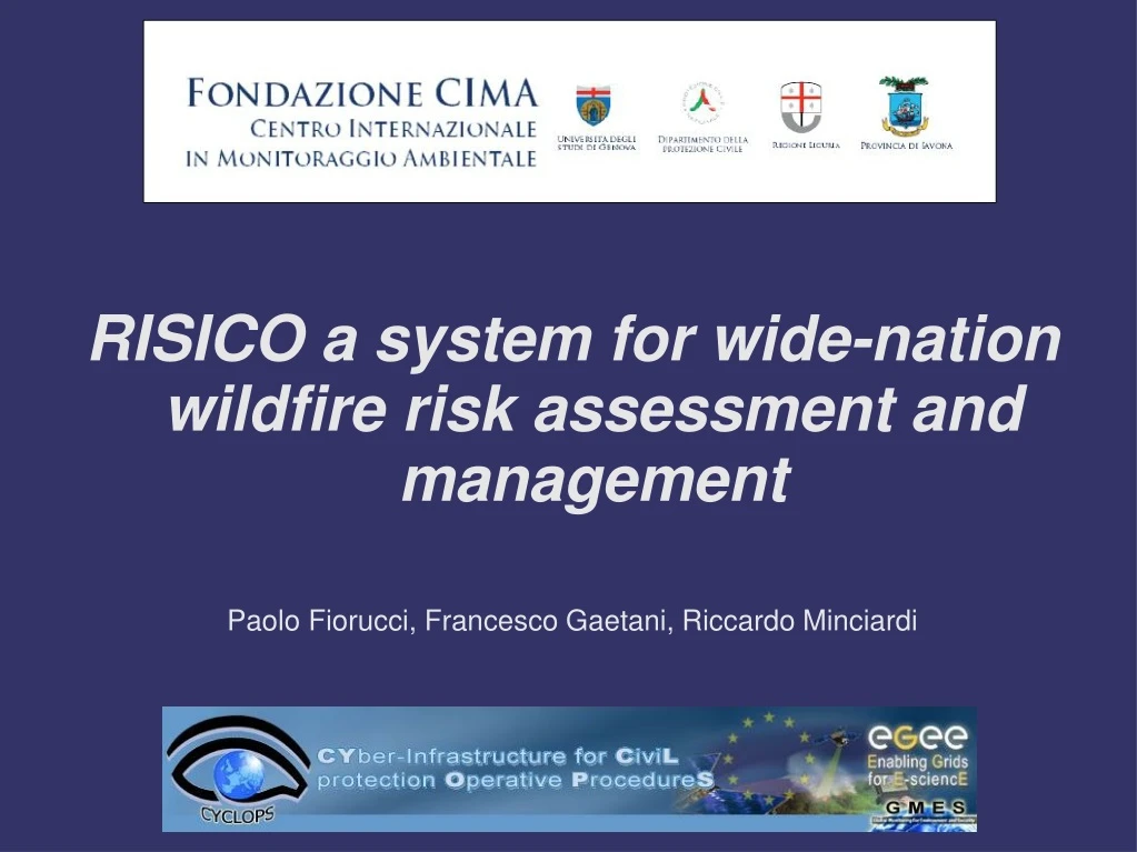
RISICO a system for wide-nation wildfire risk assessment and management. Paolo Fiorucci, Francesco Gaetani, Riccardo Minciardi. Real. -. time weather. Other sensors. Topographic. conditions. data. and territorial. In field. data. Meteo. Fire detection. measurement.

E N D
RISICO a system for wide-nation wildfire risk assessment and management Paolo Fiorucci, Francesco Gaetani, Riccardo Minciardi
Real - time weather Other sensors Topographic conditions data and territorial In field data Meteo Fire detection measurement and fire tracking forecast Historical Direct procedures forest fires observation database d elimitation and measurement of the Climate burned areas data Dynamic hazard Static hazard Active fire risk assessment assessmentprocedure management procedure Earth Obs . data Definition of Urban and forest Pre operational resources Real - time resource administrative planning management procedures allocation procedure measures Exposed elements data A general architecture for wildfire risk management
Dynamic hazard assessment The main drivers of wildfire process are: • Vegetation; • Meteorological conditions; • Topography; Defining suitable semi-empirical models it is possible to define an estimation of the potential behaviour of a fire eventually ignited in a certain space time window.
Dynamic hazard assessment Discretizing the considered area it is possible to define for each grid cell: • Vegetation type (dead and live fuel load, live fuel moisture, Higher Heating Value); • Meteorological condition and/or forecast (Air temperature, relative humidity, rainfall, wind speed and direction); • Elevation • Slope • Aspect
RISICO: a system for dynamic fire risk assessment Air Wind Rainfall RH No wind temperature speed Air Soil Moisture Snowfall initial speed Temperature Conditions on flat terrain l L o i v a Equilibrium Drying / Wetting e d f Moisture Contents Rate i m n Phenological o e d Slope effects f Model e Slope u l s e on ROS l Dead Fine Fuel Moisture Conditions m o i s Leaf Growth Wind Wind t u Model r speed direction e Duff Moisture Conditions a n d Slope equivalent Air X Soil wind speed temperature Biomass Load Biomass Moisture Model Moisture Model Conditions Initial Rate Aspect Slope of Spread Fine dead fuel Load Dead fine Fuel LHV Fireline Fine live moisture model dead Intensity Fine live fuel fuel load LHV moisture live fuel conditions Potential fire spread model
The meteorological information METEO FORECASTED DATA The system receives daily the outputs of a meteorological Limited Area Model (LAM), namely COSMO LAMI consisting of a set of data discretized in time steps of three hours, over a time horizon of 72 hours, defined over a regular grid composed by 57200 cells having a side corresponding to 0.05 degrees tk(h) air temperature[K] rk(h) dew point temperature [K] pk (h) cumulate rainfall(th – th-1 ) [m] wk (h)wind speed [m s-1] hk (h) wind direction[rad] METEO OBSERVED DATA Each run of the system is fed by new fresh data obtained from the extended national Meteorological Observation Network. Information relevant to 24 h cumulate precipitation and temperature observed by almost 3000 meteo stations is interpolated to obtain the fields defining the zero state of the daily run.
The land use and vegetation data Source data: CORINE LAND COVER release 2000 (CLC 2000). 16 categories of fuel has been considered and parametrized. Livefuels Deadfinefuels • average seasonal fuel loads [kg m-2]; • average seasonal moisture contents [%] only for live fuels; • average seasonal Higher Heating Value (HHV) [kJ kg-1].
EO products NDVI map – MODIS acquired in 2003-07-18 Remote Sensing data provide valuable information for the characterization of the state of vegetation, mapping of fuel types and vegetation properties at different temporal and spatial scales including the global, regional and landscape levels. SNOW COVER map - MODIS acq. in 2001-01-01
Towards GRID architecture • Only a high resolution grid allows to represent the vegetation and topographical heterogeneity; • When several fires are active simultaneously civil protection managers need to know which fire determine the highest risk for the people; • GRID architecture allows to introduce new perspective in potential risk assessment by means of propagation models able to give in output the potential burnt area in a given time interval and the potential damage considering the exposed elements.