Download
1 / 11
110 likes | 262 Vues
Explore the vital role of groundwater and surface water in ecosystems through engaging animations and informative video clips. Discover what wetlands are, the different types such as swamps, bogs, and marshes, and how ancient techniques helped locate groundwater resources. Learn about remote sensing technology, which allows scientists to monitor Earth's surface and detect changes invisible to the human eye. Gain insights into tools like GPS and GIS that enable mapping and analysis of water systems, supporting conservation and ecosystem management efforts.

E N D
Groundwater Short Clips • Groundwater Animation • How Sinkholes Happen like Guatemala Happen
Other Surface Waters • What is a wetland? • An area where the water table is at, near or above the land surface long enough during the year to support adapted plant growth • What are the types of wetlands? • Swamps, bogs, and marshes • Swamp: a wetland dominated by trees • Bogs: a wetland dominated by peat moss • Marshes: a wetland dominated by grasses
Swamps, Bogs, Marshes in NC Great Dismal Swamp Beech Creek Bog Click Here to Watch a Video about how ancient Indians located Groundwater Bodie Island Marsh
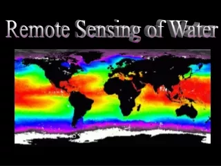
Technology and the Hydrosphere • Remote Sensing - allows scientists to use satellites to monitor all areas of Earth • Hundreds of km above Earth’s surface • Detects changes in light and energy that are not visible to the human eye • Computers can covert to colors Example: temperature
Technology and the Hydrosphere (con’t) • Remote Sensing (con’t) • Uses: • Amounts and location of phytoplankton • Amounts of dissolved organic compounds • Location and amount of sediment • Temperatures (predict El Nino) • Buoys can be used to record temperatures, winds, currents, and air temperatures
Ground Truthing • The information gathered on the GROUND to verify remote-sensing information.
Technology and the Hydrosphere (con’t) • GPS (Global Positioning System) – uses satellites to pinpoint locations on Earth • Calculates latitude and longitude at 3 or more sites Click to picture to see how GPS works
Technology and the Hydrosphere (con’t) • GIS (Geographic Information Systems) – mapmaking software that creates different map layers for the same area • Each layer contains different information • Example: Mapping a Watershed would include different layers, each showing something different like temperature, nitrate levels, pH, dissolved oxygen, pollution • Using all the layers, the location of possible polluters can be determined
Technology and the Hydrosphere (con’t) Click on the image to watch a video about GIS