Comprehensive Spatial Analysis in QGIS: Techniques and Applications
Explore vector, geometry, and geoprocessing tools in QGIS for water resource management. Learn to quantify land uses, identify contaminants, and optimize sampling locations.

Comprehensive Spatial Analysis in QGIS: Techniques and Applications
E N D
Presentation Transcript
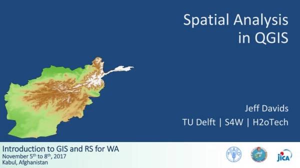
Spatial Analysis in QGIS Jeff Davids TU Delft | S4W | H2oTech
Outline • Spatial Analysis - Vector Data in QGIS • Spatial Analysis - Field Calculator • Questions and Discussion Source: Susan Steele-Dunne, TU Delft CIE5401, Spatial Tools in Water Resources Management
Outline • Spatial Analysis - Vector Data in QGIS • Spatial Analysis - Field Calculator • Questions and Discussion
Vector Data in QGIS - Research Tools • Random water quality sampling • Afghan settlements within Kabul district • Vector grid for print composition • Ideal observation network
Vector Data in QGIS - Geoprocessing Tools Source: Susan Steele-Dunne, TU Delft CIE5401, Spatial Tools in Water Resources Management
Vector Data in QGIS - Geoprocessing Tools Source: Susan Steele-Dunne, TU Delft CIE5401, Spatial Tools in Water Resources Management
Vector Data in QGIS - Geoprocessing Tools Source: Susan Steele-Dunne, TU Delft CIE5401, Spatial Tools in Water Resources Management
Vector Data in QGIS - Geoprocessing Tools Source: Susan Steele-Dunne, TU Delft CIE5401, Spatial Tools in Water Resources Management
Vector Data in QGIS - Geoprocessing Tools Source: Susan Steele-Dunne, TU Delft CIE5401, Spatial Tools in Water Resources Management
Vector Data in QGIS - Geoprocessing Tools Source: Susan Steele-Dunne, TU Delft CIE5401, Spatial Tools in Water Resources Management
Vector Data in QGIS - Geoprocessing Tools • Determine areas of different land uses within different watersheds • Identify groundwater contaminant buffer space • Remember that units are defined by the Coordinate Reference System (CRS) • Clip stream network to watershed of interest • Quantify irrigable land within 5 km of a stream
Vector Data in QGIS - Geometry Tools • Determining sampling locations • Develop network connectivity • Perform precipitation analysis
Vector Data in QGIS - Geometry Tools Source: Susan Steele-Dunne, TU Delft CIE5401, Spatial Tools in Water Resources Management
Vector Data in QGIS - Analysis Tools • Determine number of stream gauges in watersheds • Calculate center of mass of a number of monitoring points
Vector Data in QGIS - Data Management Tools • Add attributes of one feature to another • Modify CRS of different layers • Merge individual vector files into one file
Outline • Spatial Analysis - Vector Data in QGIS • Spatial Analysis - Field Calculator • Questions and Discussion
Vector Data in QGIS - Field Calculator • Used to create new or virtual field in attribute table of feature • Can be based one or more functions • Add area to Afghanistan_Districts
Vector Data in QGIS - Field Calculator • Note that the area is calculated in the units defined by the CRS • In this case, we are using UTM 42N which uses meters • If the area was desired in km2 a new field could be added and the area in m2 could be divided by 106
Plugins • Plus a whole bunch of Plugins! • Take some time to review the options under Plugins > Manage and Install Plugins