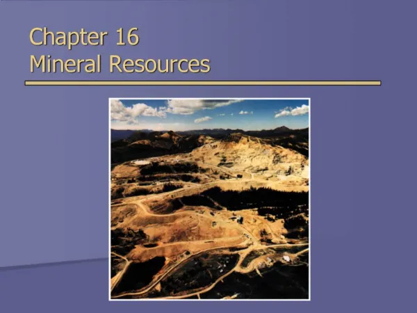
Chapter Resources
Explore various landforms, map projections, and Earth views with image banks, foldables, video clips, and review questions. Gain knowledge on latitude, longitude, time zones, and mountain types.

Chapter Resources
E N D
Presentation Transcript
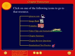
Chapter Resources Click on one of the following icons to go to that resource. glencoe.com Image Bank Foldables Video Clips and Animations Chapter Summary Chapter Review Questions Standardized Test Practice
Image Bank Click on individual thumbnail images to view larger versions.
Image Bank Transfer Images • To transfer images to your own power point follow the following steps: • Open the “Resource” file from the CD-ROM disc – view the file in the “normal view” or “slide sorter view” mode - go to slide #2 – from there you can click through the images and follow these instructions. Click once on the image. • Copy the image • Go to your own power point document • Paste the image.
Image Bank Different Types of Landforms
Image Bank Grasslands
Image Bank Landform Region Map
Image Bank Mt. Everest
Image Bank Folded Rock Layers
Image Bank Upwarped Mountain
Image Bank Fault-block Mountian
Image Bank Volcanic Mountain
Image Bank Latitude
Image Bank Longitude
Image Bank Location of the City of Milwaukee
Image Bank Time Zones
Image Bank Time Zones
Image Bank Mercator Projection
Image Bank Robinson Projection
Image Bank Conic Projection
Image Bank Topographic map
Image Bank Block Diagram
Image Bank Earth
Image Bank Question Image
Image Bank Question Image
Foldables Views of Earth Make the following Foldable to help identify what you already know, what you want to know, and what you learned about the views of the Earth.
Foldables Fold a vertical sheet of paper in half from side to side. Make the front edge about 1.25 cm shorter than the back edge.
Foldables Turn lengthwise and fold into thirds.
Foldables Unfold and cut only the top layer along both folds to make three tabs.
Foldables Label each tab.
Foldables Identify Questions Before you read the chapter, write what you already know about the views of Earth under the left tab of your Foldable, and write questions about what you’d like to know under the center tab. After you read the chapter, list what you learned under the right tab.
Video Clips Click image to view movie.
Reviewing Main Ideas 1 Landforms • The three main types of landforms are plains, plateaus, and mountains. • Plainsare large, flat areas. Plateaus are relatively flat, raised areas of land made up of nearly horizontal rocks that have been uplifted. Mountains rise high above the surrounding land.
Reviewing Main Ideas 2 Viewpoints • Latitude and longitude form an imaginary grid system that enables points on Earth to be located exactly. • Latitude is the distance in degrees north or south of the equator. Longitude is the distance in degrees east or west of the prime meridian.
Reviewing Main Ideas 2 Viewpoints • Earth is divided into 24 time zones. Each time zone represents a 1-h difference. The International Date Line separates different calendar days.
Reviewing Main Ideas 3 Maps • Mercator, Robinson, and conic projections are made by transferring points and lines on a globe’s surface onto paper. • Topographic maps show the elevation of Earth’s surface. Geologic maps show the types of rocks that make up Earth’s surface. • Remote sensing is a way of collecting information from a distance. Satellites are important remote-sensing devices.
Chapter Review Question 1 What type of mountains form when blocks of Earth’s crust are pushed up? A. fault-block B. folded C. upwarped D. volcanic PS 2.2f
Chapter Review Answer The answer is C. The Adirondack Mountains in New York are upwarped mountains.
Chapter Review Question 2 Which of the following is not a major U.S. landform? A. coastal plain B. grassland C. mountain D. plateau PS 2.1
Chapter Review Answer The answer is B. A grassland is a type of biome, not a landform, and refers to the ecological community in a given area.
Chapter Review Question 3 What is meant by longitude? PS 1.1f
Chapter Review Answer Longitude lines are imaginary lines that run from the north pole to the south pole. The reference point for lines of longitude is the prime meridian, which is defined as 0º longitude. Longitude is given in degrees east or west of prime meridian.
Chapter Review Question 4 The relationship between the distances on a map and those distances on Earth’s surface is called _______. Answer This relationship is the map scale and is often represented as a ratio. PS 1.1f
Chapter Review Question 5 Which method of remote sensing utilizes different wavelengths of light to take pictures of Earth’s surface while maintaining a near-polar orbit? A. GPS B. Landsat C. Imsat D. Lidar PS 2.1
Chapter Review Answer The answer is B. Landsat is a program of Earth-monitoring satellites that detect light reflected off landforms.
Standardized Test Practice Question 1 What type of mountain is represented by the diagram? A. fault-block B. folded C. upwarped D. volcanic PS 2.2f
Standardized Test Practice Answer The answer is A. These mountains are created when blocks of rock move in opposite directions along a fracture, or fault.
Standardized Test Practice Question 2 Which best identifies the location of Jacksonville, Florida? A. 26º N, 80.5º W B. 30º N, 81.5º W C. 43º N, 81.5º W D. 60º S, 81.5º E PSB PS 1
Standardized Test Practice Answer The answer is B. Jacksonville is located in northern Florida. Latitudes are given with respect to the equator, so any location north of the equator will be referred to by degrees north latitude.