Download
1 / 17
170 likes | 286 Vues
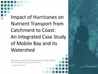
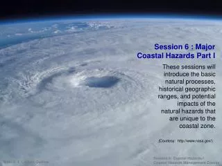
The South Coast of Barbados faces significant threats from high waves, spring tides, and strong winds, exacerbated by climate change and increased vulnerability following past hurricanes. Recent studies indicate a concerning trend where global warming intensifies hurricane seasons and coastal hazards. This report highlights the immediate issues from unusual weather patterns, alongside long-term considerations for infrastructure damage, coastal flooding, and beach erosion. It outlines necessary strategies for coastal planning, hazard mapping, and disaster mitigation to enhance resilience against future climatic threats.

E N D
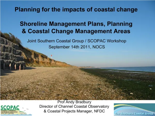
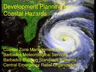
Development Planning for Coastal Hazards Coastal Zone Management Unit Barbados Meteorological Services Barbados Building Standards Authority Central Emergency Relief Organization.
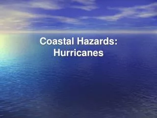
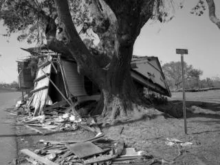
Current Situation The South Coast and other areas are being battered due to • High waves persisting for several days since mid-January 2006 • Relatively high tidal levels (Spring Tides) • Stronger than normal winds, persisting from the ESE • Increased vulnerability following Ivan
Long-Term Issues • A recent study showed that Global Warming Topped Natural Cycles in Fueling 2005 Hurricanes • This runs counter to recent claims that natural cycles are responsible for the upturn in Atlantic hurricane activity since 1995. It also supports the premise that hurricane seasons will become even more active as global temperatures rise.
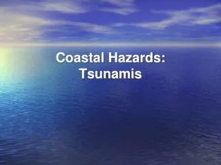
Short-Term Considerations • Unusual wind/wave conditions • Hurricanes • Tropical cyclones • Tsunamis
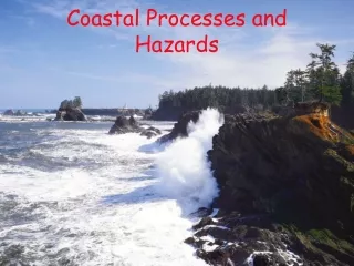
Impacts of Coastal Hazards • Coastal flooding • Infrastructure damage • Changes in beach shape, width, and sand volume
Other Presentations • Marine Ecosystems in Hazard Management • Coastal Planning Considerations • Coastal Engineering for Hazards • Hazard Mapping for Disaster Mitigation • Coastal Evacuation Planning