Download
1 / 15
150 likes | 300 Vues
This study explores the use of a mobile transect to collect data on the temperature profiles of the Mount Tamalpais area, specifically in Mill Valley. It highlights both the advantages, such as the ability to take direct measurements at various points, and the disadvantages, including potential solar heating effects. The methodology involves four transects conducted at different times of day, using instruments like a CR1000 Datalogger and various sensors. This innovative approach allows for detailed environmental monitoring and can be easily replicated at home.

E N D
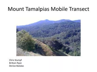
Mount Tamalpias Mobile Transect Chris Stumpf Brittani Ryan Denise Balukas
Mill Valley and Mount Tam Mill Valley elevation is 10 meters ( 32 feet ) East Peak elevation is 781 meters ( 2570 feet )
The mobile transect route GPS Mapview
Advantages of using a mobile transect to collect data: Ability to take direct measurements. Ability to collect data from many points along the route of transect in order to measure the temperature profile of the mountain valley system. Disadvantages of mobile profiling: Solar heating may influence measurements due to the time it takes to complete the transect. No direct route up the mountain, data collected from eastern and western sides of the mountain.
Mobile Transect vehicle Simple design of the roof rack and PVC pipe to attach instruments to the vehicle. Anyone can make this at home!!!
The Plan • Four transects • 7am, 10:30am, 3:30pm, 7pm • Collected data from datalogger at the top and bottom of the mountain after every trip • Checkpoints along transect
Checkpoints use GPS time and height as a reference to data collected by the instruments.
Instrumentation -CR1000 Datalogger -Thermistor/Hygristor (HMP45C) -Thermocouple -Barometric Pressure Sensor(CS106) -Trimble GPS
Temperature Profile Thermocouple Geopotential height (m) vs. Temperature (C) Red: 7:00AM, Pink: 7:00PM, Blue: 10:30AM, Green: 3:30PM
Temperature Inversion http://minnesota.publicradio.org/collections
Temperature variation with height(Up the mountain) HMP45C Geopotential height (m) vs. Temperature (C) Thermocouple
Potential Temperature with height(Down the mountain) HMP45C Geopotential height (m) vs. Potential temperature (K) Thermocouple
Potential Temperature with Pressure HMP45C Pressure (mb) vs. Potential temperature (K) Thermocouple