Download
1 / 34
400 likes | 897 Vues
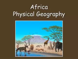
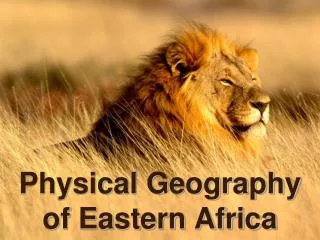
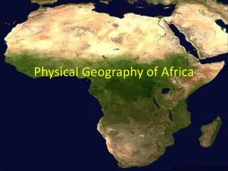
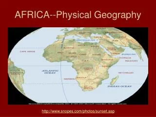
AFRICA--Physical Geography. http://www.snopes.com/photos/sunset.asp. Africa’s Unique Physical Geography Intro. Africa is really a plateau continent with escarpments and rift valleys- . Below is a picture of the Great Escarpment (Drakensberg) in South Africa ( show animation)

E N D
AFRICA--Physical Geography http://www.snopes.com/photos/sunset.asp
Africa’s Unique Physical GeographyIntro Africa is really a plateau continent with escarpments and rift valleys- . Below is a picture of the Great Escarpment (Drakensberg) in South Africa ( show animation) Plateaus, Mountains, and Highlands: Africa south of the Sahara is a series of plateaus that rise in elevation from the coast inland and from west to east. ( show book picture) The regions of Africa extend to a sea or ocean in all cardinal directions Atlantic Ocean to the west, Indian Ocean to the east, Mediterranean to the north and Southern Ocean to the south.
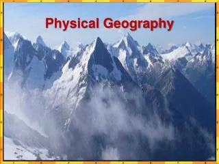
Africa’s mountains • Africa has no major mountain chains. It has scattered volcanic mountains (like the Kilimanjaro), the old & worn Atlas Mts. in Morocco. • The Ruwenzori Mountains, which form the border between Uganda and the Democratic Republic of the Congo, are one of the few mountain ranges in the region.
Deserts • Major deserts: • Sahara (only slightly smaller than the United States) • Kalahari in Botswana and a coastal desert, the Namib in Namibia. • Nubian desert in Sudan • Lybian desert
Africa’s rivers & basins Niger River basin : - Niger river is the main artery in western Africa it originates in the Guinean highlands & curves southeast to meet the Atlantic coast of Nigeria (2600 mi. long) Major means of transportation, tourism & travel Zambezi River basin: Has it’s source near the Zambia/Angola border and flows to the east to meet the Indian Ocean in a delta shape (2,200 mi) Congo River: largest network of navigable waterways in Africa (2,900 mi). The Congo estuary is 6 miles wide and is easily navigable by ocean vessels Congo River estuary
Elongated lakes and erratic river courses are common in Africa
Section 1-10 • Land of Lakes: Most of the region’s lakes are near the Great Rift Valley. • Lake Victoria, the largest lake in Africa, lies between the eastern and western branches of the Great Rift. Victoria Falls (pages 500–504) Click the mouse button or press the Space Bar to display the information.
Lake Victoria is not only the source of the Nile, but is also the largest body of fresh water in Africa, and second largest in the world after Lake Superior. It is bigger than many countries
Why is Africa’s physical geography unique? • The theory of plate tectonics whereby mountain chains are created by collision of earth’s crustal plates. (not found in Africa) did have a big influence in forming Africa’s physical geography • When South America and India broke away from Africa, they left escarpments along the coastlines. East Africa is breaking away –creating the Rift Valley.
Great Rift Valley The Great Rift Valley,stretching from Syria to Mozambique, was formed millions of years ago by shifting tectonic plates. Along the axis of the Great Rift Valley, the earths crust is being spread apart in a long, ridge like fashion. The Rift Valley system consists of a large number of finger-like-troughs, each ranging in width from about 30 to 60 km, making up the complex system of plate tectonic activity
Congo River <>
Niger River Great Bend of the Niger River “Where the camel meets the canoe”
Natural Resources • Mineral resources of the region include oil, uranium, diamonds, and about half the world’s supply of gold. • Water is an abundant resource for irrigation and hydroelectric power, but irregular and unpredictable rainfall poses a challenge to the control and use of this power. • Solar power provides a vital source of power to rural areas. Between 1986 and 1996, 20,000 small-scale solar power systems were installed in Kenya.
Gold South Africa = ½ World’s Gold Also found in Zimbabwe, D. R. Congo Tanzania, and Ghana Uranium is usually found with gold.
Diamonds And nearly half of all the diamond jewelry in the world is sold in the United States.
Blood Diamonds In relation to diamond trading, conflict diamond (also called a converted diamond, blood diamond, hot diamond, or war diamond) refers to a diamond mined in a war zone and sold to finance an insurgency, invading army's war efforts, or a warlord’s activity, usually in Liberia, Angola, Sierra Leone ,DRC, Cote D’Ivoire Conflict Diamonds
Natural ResourcesOilAngola, Nigeria, Gabon, Congo Nigerian women occupied a Nigerian Oil terminal of Chevron-Texaco Until they agreed to hire villagers, Build schools, & provide Electric & water
Getting electricity to the rural poor Solar Community Kitchen in Kargi, Kenya, Africa
Increasing drought in the Sahel area and more demand for freshwater for irrigation may mean that Lake Chad will continue shrinking.
Lake Volta, Ghana Man-made lake: irrigation for farms, hydroelectric power 4 Aluminum plants, fish
Diamonds fund Civil Warsin Angola, D. R. Congo and Sierra Leone
Chromium S. Africa & Zimbabwe Copper & Cobalt Mine D.R. Congo Iron Ore
Manganese Mine in South Africa Manganese is used for dry cell Batteries