Download
1 / 11
110 likes | 220 Vues
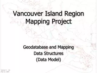
Comprehensive data model and mapping structures for Vancouver Island region. Version 9, Revised by J.B. on May 14, 2009. Includes Service Providers vs Services, Service Providers layer, Services table, Clients layer, and Foster Parents layer.

E N D
Vancouver Island Region Mapping Project Geodatabase and Mapping Data Structures (Data Model) Version 9 J.B. May 14, 2009
Service Providers vs. Services 12 13 14
Services table referral