Download
1 / 22
220 likes | 251 Vues
Evaluate and prioritize snow routes in Olathe based on streets with slopes greater than 8%. Utilize GIS techniques to enhance route efficiency and communication among city divisions.

E N D
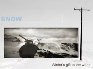
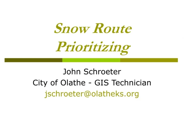
Snow Route Prioritizing John Schroeter City of Olathe - GIS Technician jschroeter@olatheks.org
Outline • Purpose • example • Overview • Olathe Routes • Analysis • Steps • Conclusion
The Purpose • Evaluate and Prioritize snow routes • The City of Olathe wanted to review and prioritize snow routes of streets with slope greater than 8%.
The Overview • Olathe Routes • Main Routes • Streets encompassed • Arterials • Collectors • Commercial • Divided into 20 zones • Use lane miles • Street department main responsibility
The Overview • Olathe Routes • Cul-De-Sac Routes • Streets encompassed • All Residential and cul-de-sac streets • Divided into 19 zones • Around 64 cul-de-sacs per zone • Other departments and divisions send drivers
The Analysis • The Questions? • What streets have a slope greater than 8%? • Why are we asking this question? • Why did we chose 8%?
The Analysis • The DEM • Using the Topogrid function in ArcInfo Workstation, a digital elevation model (DEM) was created from 2-foot contours. The pixel size for this DEM was 10 by 10-foot covering an area of 55 sq miles. The "GRIDALLOCSIZE" environment variable was added in the system properties to allocate enough virtual memory for the grid creation. This process took several hours to create after all the specifications were set for the grid. (Figure: 1)
The Analysis • The Dialog to a DEM • Using 2 foot contour intervals • Arc: w c:\Workspace\workspace • Arc: topogrid • Usage: TOPOGRID <out_grid><cell_size> • Arc: topogrid out_dem 10 • TopoGrid: datatype contour • TopoGrid: contour contour ELEV • TopoGrid: tolerances 1 1 0 • TopoGrid: outputs sink1 drain1 diag1 • TopoGrid: end • Arc:
The Analysis • What’s New? • Topo To Raster is the ArcGIS 9.x implementation of TopoGrid from ArcInfo Workstation 7.x • Comparisons to TopoGrid 7.x • The GRIDALLOCSIZE environment variable is no longer used. • The internal program limits, for the most part, have been relaxed, allowing larger and denser input datasets to be used.
The Analysis • The Slope Grid • A percent of slope was derived from the DEM using the spatial analyst tools. (Figure: 2) • Then using the raster calculator, the slope grid was reclassified to show only greater than 8%. • Olathe’s street centerline was then converted to a raster format and the cells falling in the eight percent or greater range were given a value of 1 using the raster calculator. • The streets with slopes greater than eight percent were then highlighted in the residential snow route maps. (Figure: 3)
The Conclusion • The results helped to improve the overall residential routes, by serving those off of more critical sections of streets with slope greater than 8%. • It also improved communication between divisions because the request first originated with the Streets Division.
John Schroeter City of Olathe - GIS Technician jschroeter@olatheks.org