Download
1 / 15
150 likes | 336 Vues
INTERNATIONAL WORKSHOP ON THE DIGITIZATION OF HISTORICAL CLIMATE DATA, THE NEW SACA&D DATABASE AND CLIMATE ANALYSIS IN THE ASEAN REGION. 02 -05 APRIL 2012 CTEKO, BOGOR, INDONESIA. HYDRO- METEOROLOGICAL DATA MANAGEMENT SYSTEM IN VIETNAM Tran Dinh Trong Vietnam Institute of Meteorology,

E N D
INTERNATIONAL WORKSHOPONTHE DIGITIZATION OF HISTORICAL CLIMATE DATA, THE NEW SACA&D DATABASE AND CLIMATE ANALYSIS IN THE ASEAN REGION 02 -05 APRIL 2012 CTEKO, BOGOR, INDONESIA HYDRO- METEOROLOGICAL DATA MANAGEMENT SYSTEM IN VIETNAM Tran DinhTrong Vietnam Institute of Meteorology, Hydrology and Environment
CONTENTS • 1. Introduction • 2. Data Management System • 3. Types of Climate Data • 4. Applying Climate Information
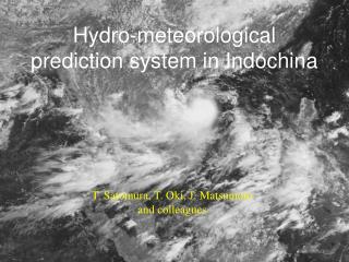
1. Introduction • - Country position: Southeastern Asia, 8o27 to 23o23N and 102o08 to 109o30E • Area: 330,990 km2 • The coastline length: 3,260 km • - Climate: Tropical monsoon suffering from natural disasters such as typhoons, floods, • drought,… which affected regularly to socio-economic development
Chart of climate data processing and, archives, observation system
1880-1930: 52 surface meteorological stations run by French 1930-1955 : 211 surface meteorological stations 1956 – now: ~250 surface meteorological stations Hydro-meteorology Data Center Data in Paper with leather cover
The data transmission process serving for hydro-meteorology forecasting
3. Types of Climate Data 3.1 Observation network • Meteorological Network was initially built in 1902 when the governor-general of Indochina made decision on establishment of the Central meteorology and magnetic field observatory (Phu Lieu observatory Hai Phong) in Indochina. From 54 meteorology stations and 56 hydrology stations in 1939 • up to 170 surface meteorology stations • 231 hydrology stations • 18 marine meteorology stations • 6 weather radar stations • 29 agricultural meteorology stations • 154 air and water environment observation stations/points • Many rainfall gauging points
3.2 Types of Climate data • Temperature, humidity, pressure, rainfall, sunny, wind, evaporation, and weather events • Agricultural meteorology data • Storm and weather radar observation events • Hydrology observation
4. Applying Climate Information Agriculture Water Resources Publish Health
For Agriculture • Total Effective Temperature • Total Effective Rainfall Amount • Total potential evaporation • Estimation of drought Conditions • Advantage Coefficient of climate condition
Applying information of climate and climate prediction on Water Resources • One/three months of Water flow • One/three months of Water Discharge • 2) Water flow of: three month in flooding/drying season • 3) Minimum of Water flow in one/three months
Applying information of climate and climate prediction on Publish Health