Tennessee: Climate and Landforms
90 likes | 1.45k Vues
Tennessee: Climate and Landforms. Unit D. Three Grand Divisions. East TN Middle TN West TN. East TN. Great Smoky Mountains Cumberland Plateau Knoxville Chattanooga Slightly cooler than the rest of the state, because of the mountains. Middle TN. Rolling Hills

Tennessee: Climate and Landforms
E N D
Presentation Transcript
Three Grand Divisions • East TN • Middle TN • West TN
East TN • Great Smoky Mountains • Cumberland Plateau • Knoxville • Chattanooga • Slightly cooler than the rest of the state, because of the mountains
Middle TN • Rolling Hills • Some areas of higher ground • Nashville, the state capital
West TN • Area west of the TN River • Land is flatter than the rest of the state • Mississippi River floodplain forms the western border of the state. • Memphis – TN’s largest city
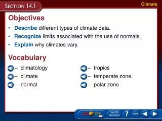
Fog in East TN • Fog is made of small water droplets that are trapped near the ground. • Fog forms when air cools and water vapor condenses. • The many mountains, hills, and valleys of East TN cause air to be trapped and form fog easily. • This is especially common in autumn.