Gravity
This study examines the Complete Bouguer Anomaly (CBA) using Geosoft corrections for terrain, tide, drift, and latitude effects. By comparing three techniques for trend removal, we analyze basin anomalies and assess their magnitudes, revealing control points and basin grids. Results suggest basin thickness estimates of 1180 m carry a 40% error when increasing density contrast, indicating greater seismic shaking potential during earthquakes in deeper basins, particularly in areas like Twin Peaks and Fallen Leaf Lake.

Gravity
E N D
Presentation Transcript
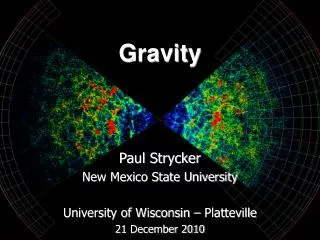
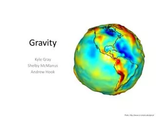
Gravity Kyle Gray Shelby McManus Andrew Hook Photo: http://www.csr.utexas.edu/grace/
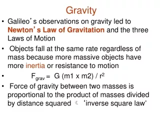
Complete Bouguer Anomaly (CBA) • Geosoft corrections: terrain, tide, drift, latitude, free air, bouguer Regional Trend
Geosoft Trend Removal Tool Residualizing -Comparison of 3 techniques -Shows basin anomalies -Note difference in anomaly magnitude -11 mGal mGal Control Points Basin Grid – Bedrock Grid -6 mGal -13 mGal
Bouguer Slab Equation Basin Thickness Estimates (using control point residual values as input) 1180 m basin thickness 40% error when density contrast is increased to -0.5 g/cc (basin becomes more shallow)
GM-SYSModel • Proposed deepest part of the basin is 580 m • Compares to 525 - 875 m Bouguer estimate CI = 1 Should be bedrock A’ A
GM-SYSModel CI = 1 Glacial moraine forms thick package of basin fill? Shallow bedrock cover A’ A B B’ Twin Peaks Fallen Leaf Lake
Why does this matter? • Deeper basin = greater seismic shaking at surface during earthquake