Download
1 / 9
90 likes | 275 Vues
CE 2710 Highway Design Project Spring 2009. Austin, TX N.W. Garrick April 2008. Introduction Due date: Monday, April 20.

E N D
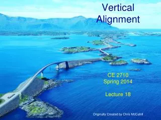
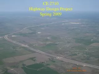
CE 2710Highway Design ProjectSpring 2009 Austin, TX N.W. Garrick April 2008
IntroductionDue date: Monday, April 20 The purpose of this assignment is to help you gain a greater understanding of how the alignment of a highway is constructed. You will do this through a processing of “reverse engineering” a number of existing highways. We now have the capability to do this relatively easily with the power of new tools like Google Earth. The highways chosen represent both Connecticut highways and a number of highways from other states. The non-Connecticut highways have been chosen because they have been praised for the quality of their design. From this exercise you will gain an appreciation of the wide variation in approach taken in developing highways and learn about some of the factors that distinguish these different approaches to design.
Assignment: Horizontal Alignment • Determine minimum and maximum radius used over the section of highway from A to B. • Produce an engineering oriented sketch of the horizontal alignment of the highways showing i) station of the PC, PI, PT, ii) the radius (and degree of curvature), and iii) deflection angle (Δ), for each curve on the section of highway. • Develop a table comparing the highways showing maximum and minimum radii and the tangent to curve length ratio for each of the designated highways. • Write a short synopsis comparing the alignments in terms of appearance and relative use of curves and tangents. Do this assignment for all four alignments given. You can find the alignments by searching in Google World using latitude and longitude in the form 41 10' N 73 20' W.
Assignment: Vertical Alignment • Produce a plot showing the vertical profile along the highway. Take elevation approximately every 50 ft to 200 ft – less on a vertical tangents, more on a curve.(you will need to get the elevation directly from Google Earth). • Produce a 1/R for the alignment. On this plot show the position of the vertical curves relative to that of the corresponding horizontal curve (similar to that in lecture notes No. 28.) • Write a short synopsis comparing the extent to which the horizontal and vertical alignments seem to have been coordinated in the alignment design. Do this assignment for the Blue Ridge Parkway and the Merritt Parkway between stations 1 and 2. Use a larger scale than that shown in the accompanying maps – do not worry about attaining a great deal of accuracy.
Blue Ridge Parkway Like his mentors, Stanley Abbott was an admirer of Frederick Law Olmsted (designer of New York City’s Central Park) and an ardent practitioner of the “rustic” or “design with nature” philosophy of road construction. In the fine tradition of the roads administrator who put his permanent stamp on Yellowstone’s Grand Loop Road, Abbott believed that a national park road – and especially a parkway – should “lie easily on the ground, blend harmoniously with the topography, and appear as if it had grown out of the soil." Extracted from Stanley W. Abbott, Wizard of the Blue Ridge Parkway Posted October 10th, 2008 by Bob Janiskee http://www.nationalparkstraveler.com/2008/10/stanley-w-abbott-wizard-blue-ridge-parkway
5000 ft B A I-95 East Lyme
1000 ft B 2 1 Blue Ridge Parkway A
5000 ft A B New York Thruway
5000 ft B 2 1 A Merritt Parkway