Download
1 / 7
70 likes | 79 Vues
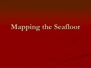
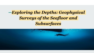
Have you ever wondered what lies beneath the vast expanse of the ocean? Let's take a fascinating journey into the depths and explore the world of geophysical surveys. These surveys enable us to understand and uncover the mysteries of the seafloor and subsurface. Using advanced geophysical survey equipment, we can dive into the hidden realms below the waves.

E N D
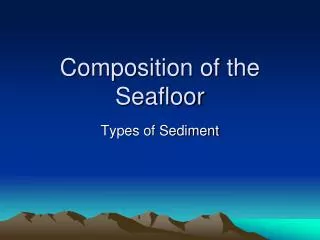
Exploring the Depths: Geophysical Surveys of the Seafloor and Subsurfaces
Introduction Have you ever wondered what lies beneath the vast expanse of the ocean? Let's take a fascinating journey into the depths and explore the world of geophysical surveys. These surveys enable us to understand and uncover the mysteries of the seafloor and subsurface. Using advanced geophysical survey equipments, we can dive into the hidden realms below the waves.
Side Scan Sonar The side scan sonar is a unique tool in geophysical investigations. This remarkable technology creates detailed photos of the seafloor using sound waves. Side scan sonar creates high-resolution photographs of underwater geological formations, shipwrecks, and marine life habitats by firing sound pulses from a towfish and analysing the returning echoes. We may use this equipment to explore and document the various landscapes that exist beneath the ocean's surface.
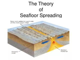
Multibeam bathymetry Multibeam bathymetry is another vital tool employed in geophysical surveys. Bathymetry refers to the measurement of water depth, and multibeam bathymetry takes this concept to new heights. This sophisticated technology utilises multiple sonar beams to capture a wide swath of seafloor data simultaneously. Multibeam bathymetry produces precise maps of the underwater topography by measuring the time it takes for sound waves to reach the seabed and return. We can now see intriguing features like seamounts, trenches, canyons, and other features that were previously concealed from view.
Sub bottom profilers Geophysical subbottom profilersare used to explore even deeper into the seafloor and learn more about its composition and history. Sub-bottom profilers are critical tools in geophysical investigations. They reveal important details regarding sediment composition, subsea structures, and geological evolution. Sub-bottom profilers construct cross-sectional profiles of the seafloor and subsurface layers by sending low-frequency sound waves into the ocean and measuring the time it takes for the echoes to return. These profiles assist scientists and researchers in understanding an area's geological history, identifying potential hazards, and even locating lucrative resources such as oil and gas deposits. Geophysical subbottom profilers have revolutionised our ability to discover hidden mysteries buried beneath the seafloor.
Applications of Geophysical Surveys The applications of geophysical surveys and the equipment used are vast and impactful. • These instruments are used by scientists, archaeologists, geologists, and environmental researchers to investigate and explore the seabed and subsurface. • Geophysical surveys allow us to map unknown ocean regions, research marine ecosystems, and detect possible threats. • Help us comprehend the Earth's geological processes. • These surveys aid in the creation and planning of offshore infrastructure, such as oil and gas exploration, submarine cable lines, and undersea building projects. • The use of geophysical survey equipmentenables us to make informed decisions and advances in various ocean-related fields.
Conclusion Finally, geophysical surveys have transformed our capacity to study and comprehend the ocean's depths. We may unravel the secrets of the seabed and subsurface by using geophysical survey equipment such as side-scan sonar, geophysical sub-bottom profilers, and multibeam bathymetry. We obtain vital insights into the geological past, identify underwater features, and find important resources as a result of these studies. Continuous improvements in geophysical survey technology and equipment move us towards a better understanding of the secret regions under the waves, eventually contributing to scientific knowledge and the long-term management of our oceans.