Wetland Vegetation Distance Analysis Tool
Calculate mean distance to nearest wetland vegtype polygons (2, 8, 15, 18) using ArcMap tools. Organize, create, and manage personalized toolsets and toolboxes easily.
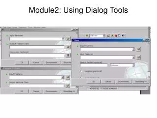

Wetland Vegetation Distance Analysis Tool
E N D
Presentation Transcript
What is the mean distance to the nearest wetland vegtype of 2 or 8 or 15 or 18?
Select Polygons Vegtype in (2, 8, 15, 18) Wetland Polygons Desired Polygons
Polygon Lines Polygons Convert from Polygons to PolyLines
Polygon Lines Location Points Points with Dist Determine Distance to Nearest Line
Points with Dist Statistics Table Determine Mean Distance
Locate Selection Tool features coverages
REQUIRED PARAMETERS Browse to input/output folders
CREATE A NEW TOOLBOX NAME YOUR TOOLBOX DRAG AND DROP TOOLS INTO YOUR TOOLBOX
Renaming tools in your personal toolbox…not permanent with ArcGIS geoprocessing tools
Organizing Tools By Toolsets 1)CREATE A NEW TOOLSET 2) RENAME YOUR TOOLSET
3) ADD TOOLS TO YOUR TOOLSET 4) CHECK TOOLS TO BE ADDED