
Uploaded by
leonard
1 SLIDES
113 VUES
10LIKES
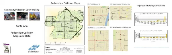
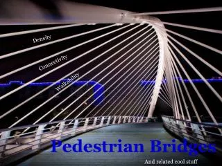
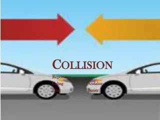
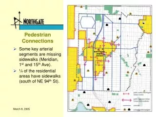
Walk Safely: Pedestrian Collision Mapping for Safer Streets
DESCRIPTION
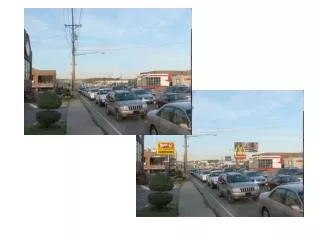
Explore detailed maps tracking pedestrian collisions to enhance safety measures on urban roads, aiding city planners and policymakers in creating pedestrian-friendly environments. Gain insights into high-risk areas and prioritize safety initiatives for a more walkable community.
Download
1 / 1
Télécharger la présentation 
Walk Safely: Pedestrian Collision Mapping for Safer Streets
An Image/Link below is provided (as is) to download presentation
Download Policy: Content on the Website is provided to you AS IS for your information and personal use and may not be sold / licensed / shared on other websites without getting consent from its author.
Content is provided to you AS IS for your information and personal use only.
Download presentation by click this link.
While downloading, if for some reason you are not able to download a presentation, the publisher may have deleted the file from their server.
During download, if you can't get a presentation, the file might be deleted by the publisher.
E N D
Presentation Transcript


More Related