Download
1 / 34
340 likes | 1.03k Vues
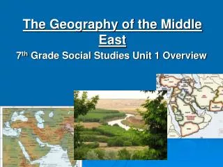
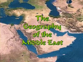
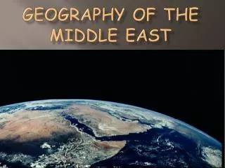
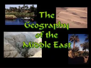
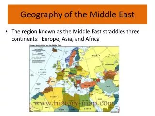
The Geography of the Middle East. Kristen Wilhite. Middle East Fun Facts. The Middle East is NOT a continent. It’s a region with no clear boundaries. It sits where Africa, Asia and Europe meets. The countries of the Middle East are apart of Asia

E N D
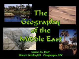
The Geography of the Middle East Kristen Wilhite
Middle East Fun Facts • The Middle East is NOT a continent. • It’s a region with no clear boundaries. • It sits where Africa, Asia and Europe meets. • The countries of the Middle East are apart of Asia • The African Country of Egypt is thought to be in the Middle east, as well as the northern African countries around the Mediterranean sea.
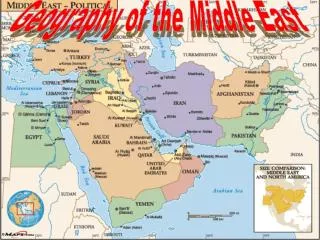
The Middle East Today:Political Map 19 17 18 11--> 6 7 1 13 8--> 9 <--10 2 12 5 3--> 16 15--> 20 14 21
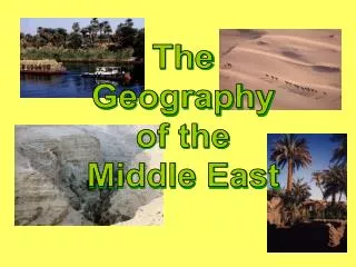
Bodies of Water Black Sea Caspian Sea Dardanelles Strait AtlanticOcean TigrisRiver Mediterranean Sea EuphratesRiver Jordan River Suez Canal Strait ofHormuz Persian Gulf Nile River Gulf ofOman Red Sea ArabianSea Gulf of Aden IndianOcean
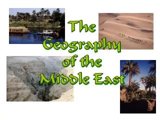
Egypt: The “Gift of the Nile” Nile Delta Annual Nile Flooding 95% of the Egyptian people live on 5% of the land!
Aswan High Dam, Egypt HydroelectricPower Plant
Suez Canal Completed by the British in 1869
The Tigris & EuphratesRiver System Mesopotamia: ”Land Between the Two Rivers” Marsh Arabs, So. Iraq
Dead Sea: Lowest Point on Earth 2,300’ below sea level HighestSaltContent(33%)
Mountains & Plateaus Caucasus Mts. Elburz Mts. AnatolianPlateau Iranian Plateau Taurus Mts. Zagros Mts. Atlas Mts. Hejaz Mts.
Mountain Ranges in Mid-East Elburz Mts., Iran Zagros Mts., Iran Lebanese Mts. Taurus Mts., Turkey
Other Land forms of the Middle East • An Nafud Desert (Part fo the Arabian Desert)- Saudi Arabia, gigantic sand dunes, some over 100 ft. High • Asir & Hejaz Mts.- running along Saudi Arabia’s Border with the red sea • Dash-E Lut (Lout Desert)- North Central Iran, largest desert in the country, uninhabited wasteland covered with crusty salt ridges. • Hadramawt- low mountain range of Yemen • Hindu Kush- mountains border between Afghanistan and Pakistan, many snow capped peaks reaching over 22,000 ft. • Kara Kum Desert- south central Turkmenistan, large mass of sand known for its towering sand dunes • Syrian desert- covers parts of Jordan, Syria, Saudi Arabia and western Iraq. Very little rain, lots of camels and cattle, oil pipelines and scattered oases.
Deserts NegevDesert SinaiDesert Libyan Desert ArabianDesert Rubal-Khali Sahara Desert
Swarms of Desert Locusts! Israel Hit By Worst Locust Plague Since the 1950s! Locusts Swarm the Pyramids Complex at Giza!
Completed Map Caucasus Mts. Black Sea Caspian Sea Elburz Mts. Dardanelles Strait AnatolianPlateau AtlanticOcean Mediterranean Sea TigrisRiver EuphratesRiver Iranian Plateau Taurus Mts. Jordan River Zagros Mts. Atlas Mts. NegevDesert SinaiDesert Suez Canal Strait ofHormuz ArabianDesert Persian Gulf Libyan Desert Nile River Gulf ofOman Rubal-Khali Red Sea Hejaz Mts. Sahara Desert ArabianSea Gulf of Aden IndianOcean
Middle East: Population Density By the Millions
Cairo, Egypt: Most Populated City in the Middle East 17,000,000+People!
Kuwait: An Island Floating on a Sea of Oil KuwaitCity
Leading U. S. Oil Suppliers The U. S. imports 30% of its oil needs from the Middle East.