Download

1 / 33
340 likes | 541 Vues
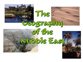
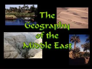
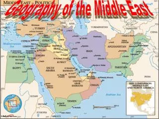
The Geography of the Middle East. The Middle East Today: Political Map. 19. 4-->. 17. 18. 11-->. 6. 7. 1. 13. 8-->. 9. <--10. 2. 12. 5. 3-->. 16. 15-->. 20. 14. 21. Middle East? OR Southwest Asia? . The Middle East vs. the U. S. Latitude Lines.

E N D
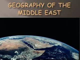
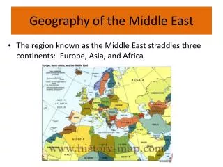
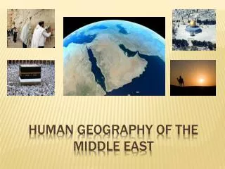
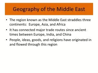
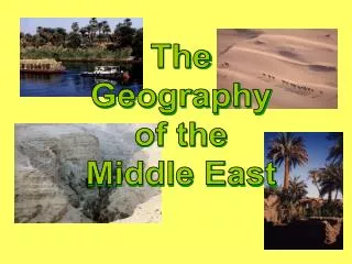
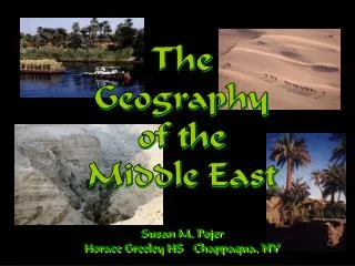
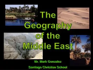
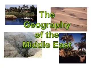
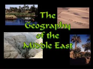
The Geography of the Middle East
The Middle East Today:Political Map 19 4--> 17 18 11--> 6 7 1 13 8--> 9 <--10 2 12 5 3--> 16 15--> 20 14 21
The Middle East:Natural Vegetation Diversity in climate/elevation/precipitation=diversity in vegetation
Middle East: Population Density Where is the water??? Find fresh water and you find population concentration.
Bodies of Water Black Sea Caspian Sea Dardanelles Strait AtlanticOcean TigrisRiver Mediterranean Sea EuphratesRiver Jordan River Suez Canal Strait ofHormuz Persian Gulf Nile River Gulf ofOman Red Sea ArabianSea Gulf of Aden IndianOcean
Cairo, Egypt: Most Populated City in the Middle East 20,000,000 44,000 p/sq/mi
Egypt: The “Gift of the Nile” Nile Delta Annual Nile Flooding 95% of the Egyptian people live on 5% of the land!
Suez Canal Completed by the British in 1869
The Tigris & EuphratesRiver System Mesopotamia: ”Land Between the Two Rivers” Marsh Arabs, So. Iraq
Dead Sea: Lowest Point on Earth 2,300’ below sea level HighestSaltContent(33%)
Mountains & Plateaus Caucasus Mts. Elburz Mts. AnatolianPlateau Iranian Plateau Taurus Mts. Zagros Mts. Atlas Mts.
Mountain Ranges in Mid-East Elburz Mts., Iran Zagros Mts., Iran Lebanese Mts. Taurus Mts., Turkey
Deserts SinaiDesert Libyan Desert ArabianDesert Rubal-Khali Sahara Desert
The Ships of the DesertArabian Camel! • Sway makes one seasick • Cruise at 2mph • 1,000 lb loads • Toes like snowshoes
No natural predators • Can withstand a massive amount of dehydration • Humps=fatty tissue • Omnivorous • Temperament? Docile and sweet • Stubborn and angry if ill treated • They spit…chew cud like cows
Brow bone • Lashes protect from sandstorms • Toes like snowshoes • Hard pads to withstand heat
Kuwait: An Island Floating on a Sea of Oil KuwaitCity
What would the Regents Exam ask?DBQ June 2010 Throughout history, geographic factors (deserts/mts/rivers) have had a variety of effects on different regions. • Describe deserts/mts/rivers • Discuss the effect deserts/mts/rivers have had on a specific region.