Download
1 / 15
150 likes | 253 Vues
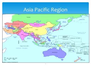
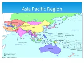
Explore the challenges and future prospects of satellite programs in the Pacific Region, covering over 30 million square miles. Discover the importance of satellite data and ground stations located in Hawaii and Guam for weather forecasting and tsunami warnings.

E N D
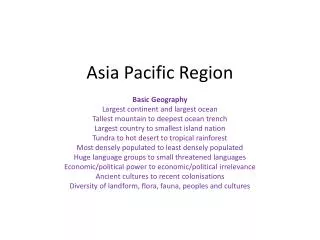
2014 GOES-R/JPSS OCONUS R2O TIM Pacific Region's Satellite Products, Programs and Requirements Pacific Region Headquarters Honolulu, Hawaii July 2014
Area of Responsibility • Pacific Region • covering > 30 million square miles • 2 Weather Forecast Offices • Honolulu and Guam • 6 Weather Service Offices* • Palau, Yap, Pohnpei, Majuro, Chuuk • *WSO Pago Pago operates like WFO. • 2 Data Collection Offices • Hilo (Big Island) and Lihue (Kauai) • Central Pacific Hurricane Center • Collocated with WFO Honolulu • Pacific Tsunami Warning Center • International Tsunami Information Center
PR Observing Program • NWS PR supports numerous islands, such as Hawaii, American Samoa, Guam, CNMI, and Micronesia • Satellite Ground Stations (including L/X-band antenna) • Surface and upper air in-situ observations • GPS Sensors • These provide: • Invaluable assistance for our Watch, Warning and Advisory programs • Verification • Support for our daily forecast services
PR Observing Program • Challenges • Communications and infrastructure • Limited resources for operations and maintenance • Highly corrosive environments • Time to travel to remote destinations (limited air and boat service) • High costs for equipment, contracts, travel and shipping • Limited personnel
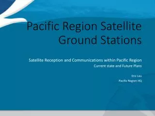
Satellite Ground Stations Pacific Region Satellite Ground Stations Ewa Beach, Oahu Hawaii Pacific Tsunami Warning Center (PTWC) Future– Inouye Regional Center (IRC)
GOES-W Footprint CONUS Hawaii American Samoa
MTSAT Footprint Hawaii CNMI Guam Yap Chuuk Majuro Palau Pohnpei American Samoa
L/X Band Antenna, Range • Honolulu Community College
April 5, 2013 00:14 UTC Aqua MODIS
PR’s Satellite Future • GEOSTATIONARY • NWS Integrated Dissemination Program, Ground Readiness Project (IDP-GRP) • Himawari 8/9 data reception uncertainties • Commercial Satellite Reception • Direct Internet Reception via NESDIS over NWAVE • GOES-R (as GOES-West!) • Data delivery to American Samoa forecasters (Bandwidth???) • GOES-15 coverage of southern Pacific post GOES-R? • POLAR ORBITING • L/X Band antenna at WFO Guam (Bandwidth???) • Model and forecast supplements a very data sparse region • Additional valuable data • OSVW, Altimetry, tropical, etc…
Summary • Pacific Region covers a vast area void of observations • Satellite data is vital to our mission • Ground stations located in Hawaii and Guam • Unique region in the NWS in diversity of comms and variety of offices/services • Complex resources reflect a customized and innovative approach to meeting mission requirements