Download
1 / 23
230 likes | 397 Vues
How to join a table to arcmap. Using the MUKEY and MUIID. Run the report in NASIS to create a .txt file with MUIID as one of the fields. Then start EXCEL and open the .txt file. Choose Delimited.

E N D
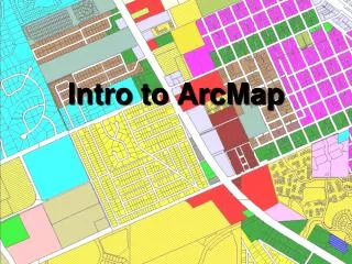
How to join a table to arcmap Using the MUKEY and MUIID
Run the report in NASIS to create a .txt file with MUIID as one of the fields. Then start EXCEL and open the .txt file.
Check Other and the “|” symbol if that is the file type that you have run. Other delimiters that work are comma delimited or tab delimited.
Make sure that you choose “Text” as the type for the MUIID column. If not, the join will not work because the MUKEY in the spatial data is text.
Add the spatial data to your arcMap session using the add data tool.
In this case I am adding a shape file that contains the data from Kansas and Nebraska that comprises MLRA 106.
The SSURGO data is pretty dense, so your map will appear black until you join and add a legend.
Then choose the add data button again and add the .dbf file.
Right click on the layer and open the attribute table just to see what is in it.
Notice that the MUIID field is left justified, and the COIID field is right justified. That means that the MUIID field is recorded as TEXT, and the COIID field is still numbers. It is important that the MUIID be TEXT, or it will not join properly.
Now right click on the soils layer and choose > joins and relates > join.
Choose Join Attributes from a table > MUKEY > DWOB and MUIID
Once you have joined the DBF file to the Spatial Attribute table, right click again and go to properties.
In this case, I imported the symbology from another map. You can create your own if you wish.
In this case, the allinterps layer file had all the information that I needed, so I used it instead of creating my own symbology (look of the map).
This is the symbology that will be imported. It would have been possible to define the symbols and ranges and labels from scratch, but importing the symbology meant that I would not have to make all of these definitions.
On the screen, it is not necessarily possible to see all of the detail that will be printed. This is a closeup of a section of the map and represents what will actually get printed on a reasonable-sized map.