1 / 19

Measuring Coastline Change for Developing a Coastal Erosion Hazard and Risk Map: A Case Study of Part of the East Coast

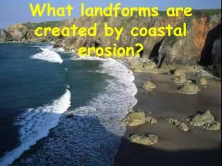
To measure coastline changes so that the results derived can be properly applied for planning purposes of coastal community and avoid any sort of loss in property and infrastructure. . OBJECTIVE. Coastline Definition. Coastline Changes are measured with respect to a particular datum which separates the land from the sea.For Singapore, coastline is defined 2.515 m Chart datum (CD) and this line theoretically separates land from sea .This chart datum (CD) is 0.825m RL with respect to the mean sea level.

loki
Télécharger la présentation

Measuring Coastline Change for Developing a Coastal Erosion Hazard and Risk Map: A Case Study of Part of the East Coast

An Image/Link below is provided (as is) to download presentation Download Policy: Content on the Website is provided to you AS IS for your information and personal use and may not be sold / licensed / shared on other websites without getting consent from its author. Content is provided to you AS IS for your information and personal use only. Download presentation by click this link. While downloading, if for some reason you are not able to download a presentation, the publisher may have deleted the file from their server. During download, if you can't get a presentation, the file might be deleted by the publisher.

E N D

Presentation Transcript


    More Related