Download
1 / 6
60 likes | 172 Vues
Watershed-Scale Impacts of Forest Buffers on Water Quality and Runoff in Urbanizing Environment.

E N D
Watershed-Scale Impacts of Forest Buffers on Water Qualityand Runoff in Urbanizing Environment Paper by: Bloniarz D., M. Matteo, T. Randhir. 2006. Watershed-Scale impacts of forest buffers on water quality and runoff in urbanizing environment. Journal of Water Resources Planning & Management, 132(3): 144-152. Presented by: Aaron Seth Holland, Geography, Geog370, 2-25-08
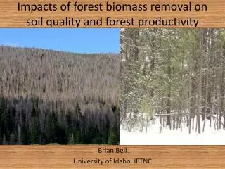
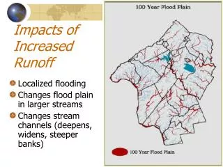
Problem & Hypothesis • Problem: To test and suggest and provide routes of implementation for best management practices (BMPs) concerning urban buffer systems and hydrology. • Step 1: Evaluate the effectiveness of forestry BMPs as spatial buffers • Step 2: To study the efficiency of BMPs at various degrees of urbanization • Step 3: Identify Implementation strategies related to spatial analysis • Why we care: Water quality, particular in urban areas, is directly related to runoff due to differentiating surfaces, of which impervious surfaces contribute relatively high amounts of contamination. • Hypothesis: Using forestry buffer systems, we can potentially reduce contamination and increase such factors as water quality and nutrient retention.
Methods • Three distinct subbasins (rural, suburban, and urban) were identified using a combination of land cover percentage (ranging from row crops and forestry to industrial impervious surfaces), MassGIS, and Mill River Watershed Data. • Using a Generalized Watershed Loading Function (GWLF) model, various parameters for each subbasin were analyzed including canopy cover, riparian buffer size and impact, and water quality. • The model was evaluated over a five year period and included analysis of monthly stream flow, soil erosion, sediment yield, nutrient loading, runoff, groundwater recharge, and evapotranspiration. Water quality measurements were also simulated and focused particularly on sediment, nitrogen, and phosphorus retention capacities.
Results • Through the implementation of forestry buffers, runoff and sediment discharge were greatly decreased for all three subbasins • Rural subbasin contained highest proportion of pervious surfaces and thus showed the greatest improvement in these areas • Nutrient loss and contamination were reduced while water quality was increased for all three subbasins
Conclusions • Scientific: Urban forestry buffers increase water quality and nutrient retention in streams while decreasing contamination and maximum overflow peaks • Policy: Potential for increased buffer widths and greenways in the Mill River, MA, area • Criticism and Approval: While the GWLF model may not give entirely environmentally accurate results, it was the best choice in this case, considering time and monetary issues, as their extensive use of GIS and other data sources and concurrent results uphold their claims