Download
1 / 19
190 likes | 209 Vues
Learn how spatial data can improve disaster response processes, from vulnerability mapping to damage assessment and prediction. Explore case studies on floods, landslides, hazards at sea, earthquakes, and fires. Discover the benefits of using spatial data for optimization, planning, and risk assessment. Identify problems and solutions for effective cross-border cooperation in disaster management.

E N D
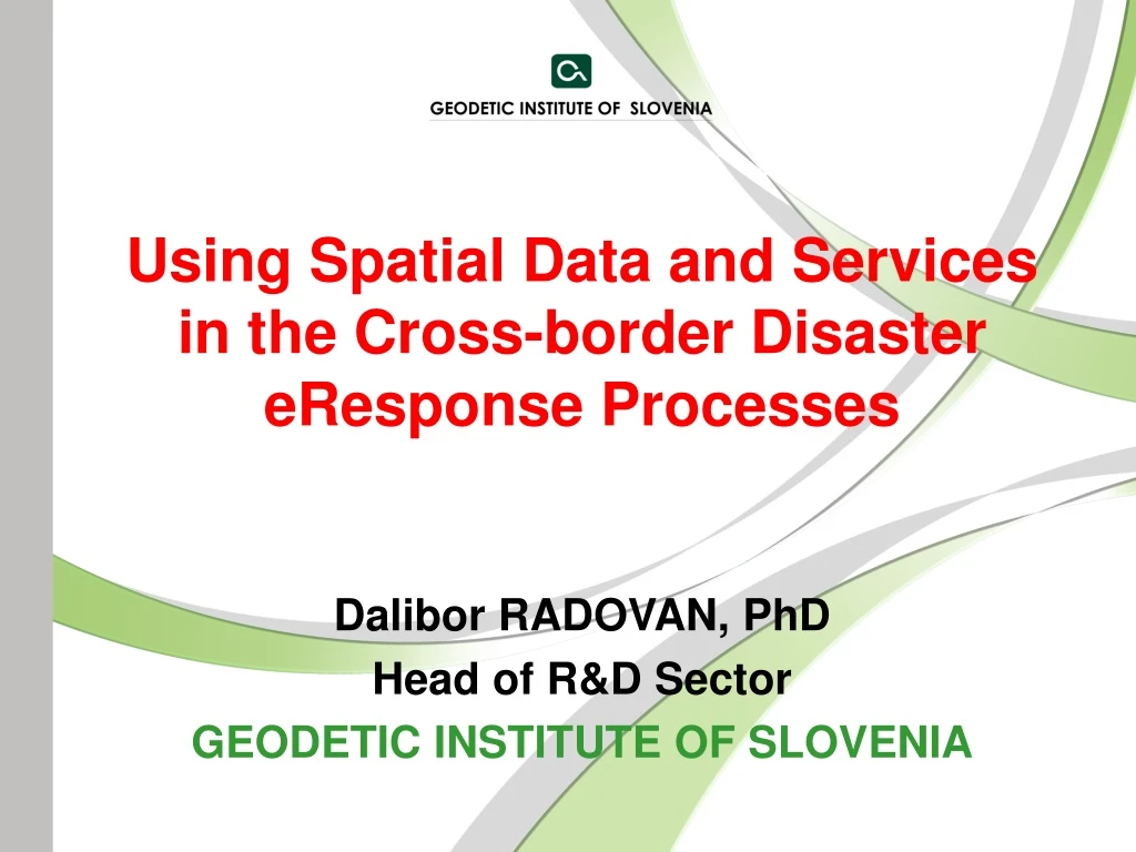
Using Spatial Data and Services in the Cross-border Disaster eResponse Processes Dalibor RADOVAN, PhD Head of R&D Sector GEODETIC INSTITUTE OF SLOVENIA
SPATIAL DATA • Position (GPS, national reference stations) • Real estate (land cadastre, buildings, infrastructure) • Topography (DEM, topo-maps, DOF, satellite imagery, lidar) • Disasters change the environment – new data needed!
2D 3D 4D • Vulnerability mapping (spatial & socio-economic data) • Situation before disaster (spatial data) • Situation after disaster (intervention imaging) • Assessment of damage (old vs. new spatial data) • Prediction & prognosis (time series of spatial data)
FLOODS: Combination of surveys multibeam sonar + lidar + GPS • INTERREG – ENHYGMA – Tisa river
Automatic detection and classification hyperspectral satellite images + DOF
Decantation of floods - vegetationLidar – 3D, high accuracy, multiple reflectionsINTERREG - HarmoGeo River Soča creek
LANDSLIDES: Extent of impacthelicopter photos Slovenian Alps
Prevention, intervention, reconstruction geodetic plansUNESCO site – Partisan hospital Franja
HAZARDS AT SEA: Preventionhydrographic sonar survey for safety of navigation Slovenian sea
EARTHQUAKES: Simulation – before & after3D models “Ljubljana before”
Assessment of earthquake threats – buildings & year of construction real estate register: more than 80 attributes for each building • qualitative • quantitative • temporal • positional • values
BENEFITS OF SPATIAL DATA • assessment of threat for single object/person • optimization of rescue operations • planing of damage inventarization • prognosis of potential damage • assessment of chain threats (earthquake > fire) • identification of dangerous and vulnerable buildings • mobile applications
USEFUL RELATIONS Relate spatial data to : • database of rescue team members • database of rescue equipment • database of municipal employes • register of inhabitants • registerof companies • real estate register
PROBLEMS FOR DISCUSSION • mechanisms of public financing complicated • huge amount of data needed • spatial data not fit for disaster management • maps of vulnerability not enough detailed • non-interoperable applications • cross border cooperation weak or hindered by differences in organization • unsufficient use of spatial data in insurance companies • funding of prevention depends on politics and the time of elections • funding comes after the disaster (too late) “Better disaster later, than prevention now.” • What else? Solutions? Proposals?