Download
1 / 11
120 likes | 288 Vues
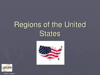
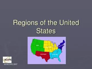
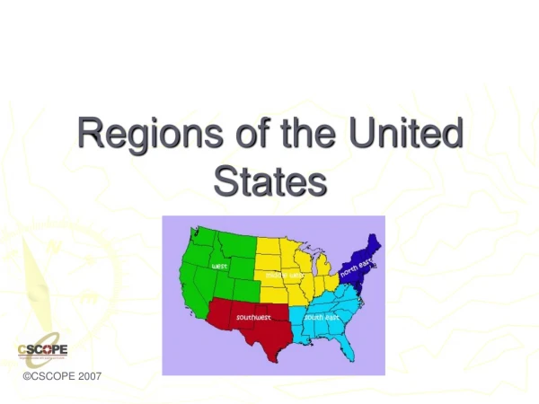
Major Locations in the United States States, Capitals, and Geographical Regions. Target Grade Level: 5 th grade Hailey Pozniak. Lesson Objective. To provide knowledge to students of where each of the fifty states are located, what their capital is, and important information about the state. .

E N D
Major Locations in the United StatesStates, Capitals, and Geographical Regions Target Grade Level: 5th grade Hailey Pozniak
Lesson Objective • To provide knowledge to students of where each of the fifty states are located, what their capital is, and important information about the state.
Introduce Learning Activity • I will introduce an online site with a few different map games that I will have the students play. • I will then explain a project that must be completed by each student. They will have to create a post card.
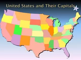
Provide Information • I will take the students into the computer lab. I will then display the map games on the projector so everyone can see. I will then illustrate how each game is played. At the same time, the students will follow the steps as I show them. In the first game, students will have to click on a state and the capital is shown. This will cause them to be familiar which each capital.
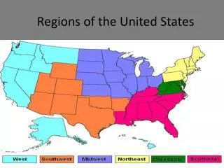
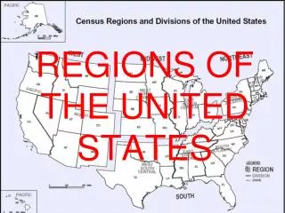
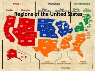
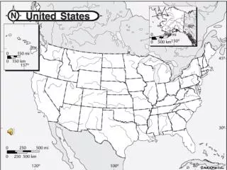
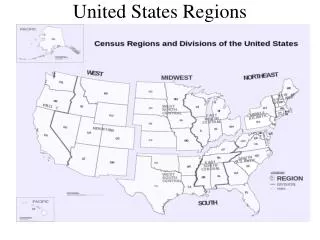
. In the second map game, students will have to find the state whose capital is asked by the game. In the first state map game, students will click on the states and their name is revealed. In the second map game, the students will have to click on the appropriate location of the state asked for. In the first landscape game, students click on a certain area and its geographical name will be shown. In the second landscape is, the students will be asked to click on the correct landscaped that is asked for.
Each student will be assigned a geographical location. They will have to create a postcard on Publisher. On the front must include a state of their choice from that area, the capital, and a picture representing either the geographical area or the state. On the back side of the postcard, students must write a note to a family member or friend giving interesting information about the area. This information can be found in the map games when the student clicks on any location.
Provide Practice • I will take the students into the computer lab for the next four days to play the games for about a half hour. They will also have the opportunity to play them during extra time throughout the day.
Students will also have time to work on the postcards while they play the games in order to use the information provided in the games.
Provide Knowledge of Results • I will walk around the computer lab and view which level each student is playing the games on. I will make comments on well they are doing and give aid to those who need it. • To provide written feedback, I will make comments on how accurate their information is and how much effort each student put into their postcard.
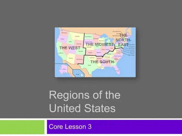
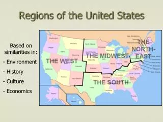
Review the Activity • In order to highlight the main points of this lesson, I will provide review every day until the quizzes. Each day I will discuss with the students of where about 12 of the states are located until all are reviewed. I will also review the geographical region that each state is located in and other important information about the state. I will continue to review locations that students seem to be having difficulty with.
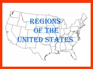
Method of Assessment • I will give the students a map quiz. I will have an unlabeled map of the United States. The students will have to match each of the fifty states with its appropriate location. They will also have to write out the capital of each state. On another unlabeled map, students will have to color in each geographical region.