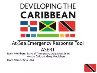
Tribal Emergency Response Tool for Muscogee (Creek) Nation Geospatial Department
110 likes | 207 Vues
The Tribal Emergency Response Tool project aims to develop emergency management standards, a mobile application for field updates, and a geospatial data viewer for the Muscogee(Creek) Nation. It includes data standards for incident and resource management, a mobile app for incident response, and post-incident analysis. The project schedule spans from regional meetings to system development phases, with the goal of enhancing emergency response capabilities for the Muscogee (Creek) Nation.

Tribal Emergency Response Tool for Muscogee (Creek) Nation Geospatial Department
E N D
Presentation Transcript
Tribal Emergency Response Tool Muscogee (Creek) Nation Geospatial Department Frank Harjo
Muscogee (Creek) Nation • Okmulgee, OK located 30 miles south of Tulsa, OK • Over 70,000 Tribal Citizens • Tribal Jurisdiction covers 4,867 sq miles • Tribal Jurisdiction includes parts or all of 11 counties
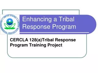
Project Background • Grant Proposal • Collaboration with partner tribes • Citizen Potawatomi Nation • Kickapoo Tribe • Seminole Nation • Inter-Tribal Emergency Management Coalition • Address Tribal Emergency Response Information Exchange • 2013 Grant awarded to Muscogee (Creek) Nation to develop: • Tribal emergency management standards that address Incident Management and Resource management • Mobile application to allow updates in the field and synchronization capabilities • A geospatial data viewer to display partners’ emergency response info along with pertinent environmental data
Tribal EM Data Standards Incident Management: • The Tribal Incident Management data standard can be more comprehensive and capture incidents that tribes encounter on a regular basis (Wildfires, Tribal Government Campus, etc.) • Tribes can utilize the incident management system to manage incidents within the tribe • EM Personnel • Lighthorse • Risk Management • Communications • Facilities • Administration
Tribal EM Data Standards Resource Management: • The Tribal Resource Management data standard will address resources of the tribal government • Because tribes are unique and operate several aspects of tribal government, resources may vary from tribe to tribe. • Resources can range from critical facilities to personnel/teams • Being able to document and manage resources using data standards allows information to be streamlined • Streamline in the field…
Mobile Application– Incident Response • Log initial incident information • Identify potential environmental concerns in the surrounding area • Integration with web services • Organize Incident Command Team: • Credential validation • Check-in / check-out • Text (SMS) notifications • Onsite picture/video logging
Mobile Application – Post Incident Analysis • Review Incident Timeline • Generate various reports • Seamless mobile to Desktop transition
Technologies Desktop Mobile UI Tier jquery.js bootstrap.js knockout.js parsley.js appear.js smoothscroll.js slimscroll.js modernizer.js animate.js + • APIs • Capture • Geoloc • Storage • Notify Business Tier REST Web Services + Android-Specific Controllers iOS-Specific Controllers Synchronization for offline use Data Tier
Project Schedule – Key Dates • March - June 2014: 3 regional requirements gathering / design meetings held across OK • Spring 2014: Data Standard & Phase A (System Prototype) Development • Fall 2014: Phase B (Complete System without synchronization) Development • Spring 2015: Phase C (Complete System) • Summer 2015: Regional Training / Outreach Sessions