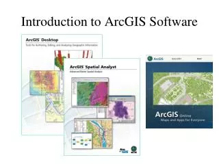
Introduction to ArcGIS
National Science Foundation CET/Land Surveying Curriculum Workshop Jul 11 – July 14, 2005 Evergreen Valley College. GIS for Land Surveying. Introduction to ArcGIS. Mike Weir ESRI – Surveying Industry Manager Redlands, California mweir@esri.com Phone: (909) 793-2853, ext. 1-1002.

Introduction to ArcGIS
E N D
Presentation Transcript
National Science Foundation CET/Land Surveying Curriculum Workshop Jul 11 – July 14, 2005 Evergreen Valley College GIS for Land Surveying Introduction to ArcGIS Mike Weir ESRI – Surveying Industry Manager Redlands, California mweir@esri.com Phone: (909) 793-2853, ext. 1-1002
Workshop agenda Presentation • Review GIS basics • Introduction to ArcGIS Practice • Hands-on exercises
GIS is the framework for integrating Survey and GIS • What fuels a GIS system ? • Data fuels the GIS Engine • GIS systems are consumers of data • Who are the experts on data collection, evaluation and accuracy assessment ? • You are – Surveyors are 2005 APLS Conference, Prescott, AZ – 07/16/05 4
GIS Integrates Data Water Resources Topographic Data Roads/Infrastructure Demographics • GeoReferencing • Map Overlay • Spatial Analysis • Visualization Land Use/Land Cover Imagery Environmental Considerations Engineering . . . Multi-disciplinary Integrating Measurements and Disciplines
GIS Integrates Workflows Planning Management Science Operations Engineering . . . Multi-disciplinary Supporting Collaboration
New Technologies Create … Opportunities: • Improve workflow and dataflow • Improve accuracy • Increase the value proposition of survey data • Provides opportunities to collaborate Challenges: • Learning new technologies and procedures • Creating new paradigms for data creation, editing and management • Building teams that collaborate, plan and integrate our geo-spatial strengths
What are the opportunities? Internal: • Spatially enable my business • Survey planning • Mapping • Design • Digital submission External: • GIS consulting • GIS data collection • Data automation • GIS data accuracy assessment
GIS & Mapping New Opportunities for Surveyors # People Who Care mm cm dm m dam hm km 2005 APLS Conference, Prescott, AZ – 07/16/05
“I may be wrong but I doubt it” Charles Barkley
Survey and GIS Summit 2005 – Bridging the Gap http://www.esri.com/events/survey http://www.esri.com/surveysummit Saturday, Jul 23 – Tuesday, Jul 26 (San Diego, California) A surveying industry conference concurrent with the 25th annual ESRI International User Conference.. ESRI and our partners invite surveyors and GIS practitioners from all over the world Conference theme - “Integrating Survey and GIS”