Download
1 / 15
150 likes | 262 Vues
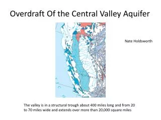
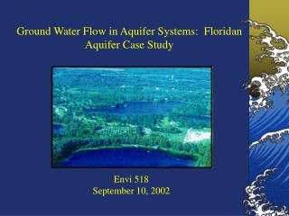
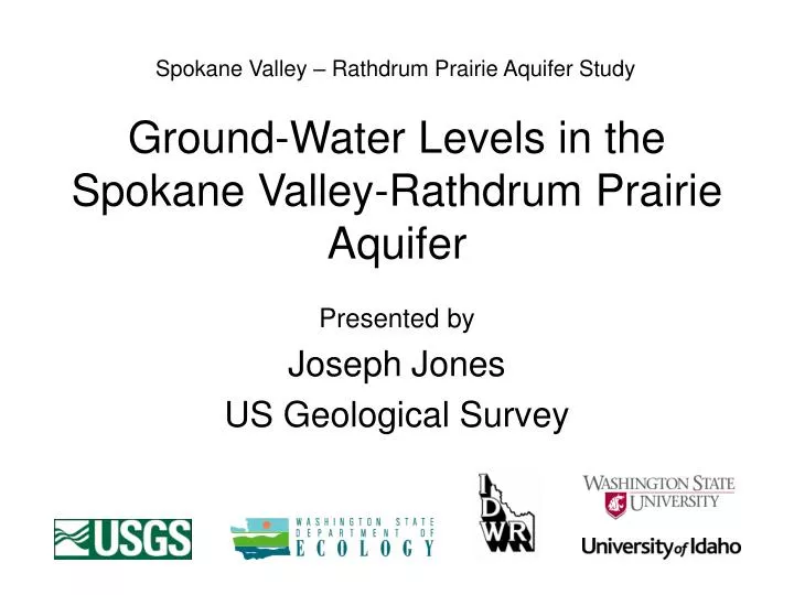
Spokane Valley – Rathdrum Prairie Aquifer Study. Ground-Water Levels in the Spokane Valley-Rathdrum Prairie Aquifer. Presented by Joseph Jones US Geological Survey. Outline. Water-level data Synoptic water levels Sept 2004, Apr 2006

E N D
Spokane Valley – Rathdrum Prairie Aquifer Study Ground-Water Levels in the Spokane Valley-Rathdrum Prairie Aquifer Presented by Joseph Jones US Geological Survey
Outline • Water-level data • Synoptic water levels Sept 2004, Apr 2006 • Character of water level fluctuation in different parts of the aquifer • Change in water levels from September 2004 to April 2006 • Conclusions
Water-Level Data • Synoptic water-level measurements in 268 wells during: • September 2004 • April 2006 • Monthly measurements in 56 monitoring wells, from summer 2004 through 2006 • Hourly measurements in 8 monitoring wells • Historical water-level data in 4 monitoring wells since 1993 and earlier
Ground-Water Levels, September 2004 Altitude of water-level in feet (revised after Campbell, 2005)
Spokane River near Otis Orchards Well 60 J A S O N D J F M A M J J A S O N D 2004 2005 In Spokane Valley, ground-water levels are controlled by stage on the Spokane River. gage 60
Well 128 Spokane River at Spokane J A S O N D J F M A M J J A S O N D 2004 2005 In Hillyard Trough, ground-water level fluctuations are less dynamic than those in Spokane Valley. 128 gage
Well 107 Nine Mile Reservoir J A S O N D J F M A M J J A S O N D 2004 2005 In the northern part of Western Arm, ground-water levels are controlled by the level of Nine Mile Reservoir. 107
Well 251 Well 92 90 92 94 96 98 00 02 04 06 Ground-water levels in northern Rathdrum Prairie (well 251) are controlled by infiltration from precipitation. Ground-water levels in Spokane Valley (well 92) are controlled by stage on the Spokane River. 251 92
Lake Pend Oreille Well 236 Well 234 90 92 94 96 98 00 02 04 In the vicinity of Lake Pend Oreille, ground-water levels are controlled by lake level. 236 234
Coeur d’Alene Lake Well 143 Well 159 J M M J S N J M M J S N 2004 2005 In the vicinity of Coeur d’Alene Lake, ground-water levels do not show a clear relation to lake level (and the arm of the Spokane River above Post Falls Dam). 143 159
Well 245 Well 249 J A S O N D J F M A M J J A S O N D 2004 2005 Ground-water levels along the perimeter of the aquifer are influenced by runoff from surrounding uplands and are not indicative of ground-water levels in the main part of the aquifer. 249 245
Conclusions • Generalized direction of ground-water flow is consistent with conceptualizations from previous investigations. • Ground-water fluctuations are characteristic of different parts of the aquifer. • Water-level differences between September 2004 and April 2006 support conceptualization of ground-water flow.