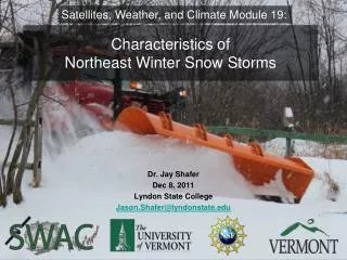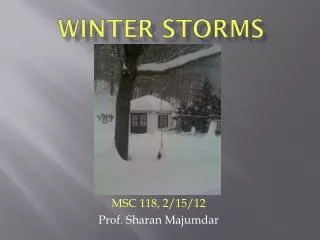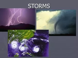
WINTER STORMS
WINTER STORMS. MSC 118, 2/12/14. Prof. Sharan Majumdar. http://orca.rsmas.miami.edu/~majumdar. Outline. 1 . Structure and Formation of Winter Storms 2. Winter Weather in Jan-Feb 2014 Polar Vortex Alberta Clipper Atlanta two weeks ago Today’s storm!. 1. Structure of Winter Storms.

WINTER STORMS
E N D
Presentation Transcript
WINTER STORMS MSC 118, 2/12/14. Prof. Sharan Majumdar. http://orca.rsmas.miami.edu/~majumdar
Outline 1. Structure and Formation of Winter Storms 2. Winter Weather in Jan-Feb 2014 • Polar Vortex • Alberta Clipper • Atlanta two weeks ago • Today’s storm!
1. Structure of Winter Storms Typical structure of most winter storms, although they can be very different.
A Typical Winter Storm Surface low pressure system, usually <1000 mb. Warm and cold fronts, although the low may be occluded (fronts weakened). Heaviest rain or snow in the ‘head’ of the storm system, with possible banding. Squally rain or snow along the cold front.
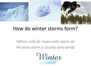
Winter storm formation: Ingredients Favorable jet stream position aloft. Cold polar air coming from north. Sharp ‘temperature gradient’. Availability of moisture.
Norwegian Cyclone Model • Initial ‘frontal boundary’ separating cold and warm air. • A “wave” forms along the front as an upper-air disturbance in the jet stream moves over it. • Front develops a kink where wave develops.
Isobars Isotherms
“The planetary-scale cyclonic circulation, centered generally in the polar regions, extending from the middle troposphere to thestratosphere. The westerly airflow is largely a manifestation of the thermal wind above the polar frontal zone of middle and subpolar latitudes. The vortex is strongest in winter when the pole-to-equator temperature gradient is strongest. In the Northern Hemisphere, the vortex has two centers in the mean, one near Baffin Island and the other over northeast Siberia”. AMS Glossary of Meteorology
2b. Alberta Clipper Storms, Jan-Feb 2014 “A fast moving low pressure system that moves southeast out of Canadian Province of Alberta (southwest Canada) through the Plains, Midwest, and Great Lakes region usually during the winter. This low pressure area is usually accompanied by light snow, strong winds, and colder temperatures.” AMS Glossary of Meteorology
Craziness in Atlanta, 1/28/14 National Weather Service Summary
Nor’Easter • A cyclonic storm of the east coast of North America, so called because the winds over the coastal area are from the northeast. • They may occur at any time of year but are most frequent and most violent between September and April. Northeast storms usually develop in lower–middle latitudes (30°–40°N) within 100 miles east or west of the coastline. They progress generally northward to northeastward and typically attain maximum intensity near New England and the Maritime Provinces. AMS Glossary of Meteorology