SlideServe
Menu
Préférences
© SlideServe · v2026

The Colorado Plateau

marion avatar
5 diapositives · 233 Views · Jul 23, 2014

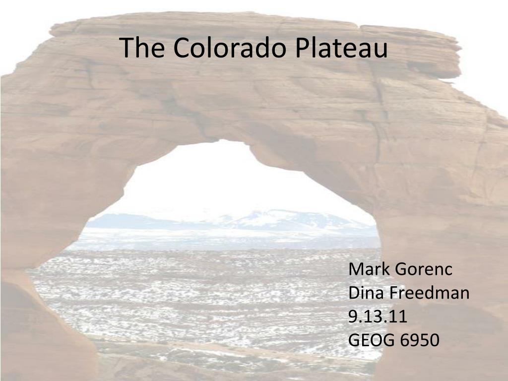
The Colorado Plateau. Mark Gorenc Dina Freedman 9.13.11 GEOG 6950. Geography. Image of the CP like this or similar. 130,000 square km roughly equal to Alabama Bound by the Uintas, Rockies, Wasatch Range, Rio Grand Rift, the Mogollon Rim and Basin and Range Province
The Colorado Plateau - slide 1
01 / 5The Colorado Plateau
1 / 17

Télécharger la présentation

The Colorado Plateau
Une image / un lien ci-dessous est fourni (tel quel) pour télécharger la présentation

Politique de téléchargement : le contenu du site vous est fourni TEL QUEL pour votre information et votre usage personnel ; il ne peut être vendu, concédé sous licence ni partagé sur d’autres sites sans l’accord de son auteur.Le contenu vous est fourni TEL QUEL, pour votre information et votre usage personnel uniquement. Téléchargez la présentation en cliquant sur ce lien. Lors du téléchargement, si vous ne parvenez pas à télécharger une présentation, l’éditeur a peut-être supprimé le fichier de son serveur.Pendant le téléchargement, si vous ne parvenez pas à obtenir une présentation, le fichier a peut-être été supprimé par l’éditeur.

F I N

Plus de contenu associé

Transcription de la présentation
  1. The Colorado Plateau Mark Gorenc Dina Freedman 9.13.11 GEOG 6950

  2. Geography • Image of the CP like this or similar • 130,000 square km roughly equal to Alabama • Bound by the Uintas, Rockies, Wasatch Range, Rio Grand Rift, the Mogollon Rim and Basin and Range Province • Known for stunning geologic features and national parks

  3. Physical & Geological Characteristics • Elevations range from 1 to 4.2 km and average is 1.6 km • Landscape is relatively undeformed • Precambrian igneous basement with a thick sedimentary cover • Known for distinct structural and erosional features

  4. Crust and Lithosphere Properties • Compression by Farallon Plate Subduction • Farallon Plate sinking Initiates buffer free upwelling • Asthenosphere invasion into lithosphere • Generally controversial topic Modified from Humphreys et al. 2003

  5. Chronology • Upwelling of magmatic intrusions • Lithoshere-Asthenosphere interaction • Incision of Rivers to create today’s features • Faulting in Basement Rocks • Sedimentary Basin Fill • Farallon Plate Subduction and compression • Sinking of Farallon and extension Modified from Plummer 2005