Download
1 / 32
350 likes | 811 Vues
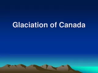
Glaciation of Canada. Plate Tectonics…took a long time. Glaciation Happened Fast…. 1000 m. 500 m. Peaked 20,000 years ago Glaciers took thousands of years to form Glaciers advance (get larger) and retreat (get smaller) Glacier ice is thousands of metres thick

E N D
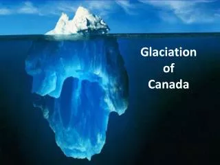
Glaciation Happened Fast… 1000 m 500 m • Peaked 20,000 years ago • Glaciers took thousands of years to form • Glaciers advance (get larger) and retreat (get smaller) • Glacier ice is thousands of metres thick • Glaciers can move and change the landscape
How Glaciers Move Pressure underneath glacier + gravity = moving glacier
How Glaciers Move As long as more snow is added, the ice moves outward. If melting happens faster than accumulation, the glacier appears to retreat.
Glaciers and the Great Lakes COVERING ALL OF CANADA! (Except highest peaks)
Glaciers and the Great Lakes http://www.uwgb.edu/dutchs/glkhist/glkhist0.htm
Their movement is mainly due to gravity Some still exist in the western mountains They move due to their own weight The northern ice cap is one of these There are two types of Glaciers ALPINE CONTINENTAL
Two Types of Glaciers #2 - Alpine • Rocky Mountains • Himalayas #1 - Continental • Greenland • Antarctica
U-Shaped Valley Glaciers pass through jagged mountain valleys making them smooth and u-shaped after the ice retreats. The ice (and rocks embedded in it) scrape the valley floor and sides.
Striations Rocks are carried in the bottom of a glacier act like cutting tools. They carve long grooves in the bedrock as they move. The direction of these grooves shows which way the glacier traveled.
Till This is the material picked up and carried by the glacier. It is made up of everything from very fine particles of sand, to huge boulders.
Till Plain When the ice melts and leaves a layer of till behind, it is called a till plain. It is flat or gently rolling. They are very useful as farmland, due to the rich deep soil left behind.
Spillways When glaciers melt, huge amounts of water must flow away. These large volumes of water carve out wide deep valleys. When all of the ice is melted, the valley is left behind, often with a very tiny stream, called a “misfit” stream.
Moraines These are ridges of till left either at the front or sides of a glacier as it retreats. Terminal moraines occur at the front end of the glacier and show how far it advanced. Oak Ridges Moraine
Drumlin These are egg shaped hills that usually occur in clusters. They are used for farming due to the soil deposits, and are also mined for gravel.
Drumlin Top part of figure depicts the drumlin in cross section Bottom of figure depicts plan view of the drumlin.
Erratic An erratic is a large boulder that is carried by the ice to a spot where it is dropped. They are easily spotted, since they are usually unlike the rock around them.
Esker A long sinuous ridge of sand and gravel deposited by water flowing under a glacier or ice sheet.
Esker Eskers mark the former beds of melt water streams. They are discontinuous because streams deposit sediments only in certain places along their course.
Kettle Lakes Blocks of ice get separated They are buried by outwash. They melt and form lakes called kettle lakes.
Kame Kames are steep mounds or conical hills built by material dropped in holes in the ice…when the ice melts, the material is dropped on the ground.
Isostatic rebound… The Earth’s crust is depressed as a result of the weight of the ice. When the ice melts the surface slowly bounces back. It is still going on!