Download
1 / 14
140 likes | 266 Vues
Join us for the kickoff meeting of the Oregon Public Building Database Project, where we will introduce the project and discuss the Oregon GIS Framework. Throughout the meeting, Dan Christensen will provide an overview of the Framework's data standards, followed by Bob DenOuden’s insights on common structural data needs. This collaborative effort involves various local, regional, and state-level agencies aimed at creating authoritative geospatial datasets. Wrap up with next steps for moving forward in this essential initiative.

E N D
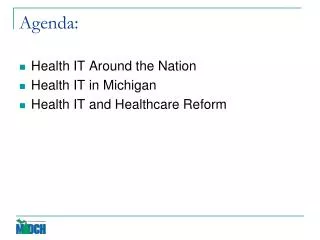
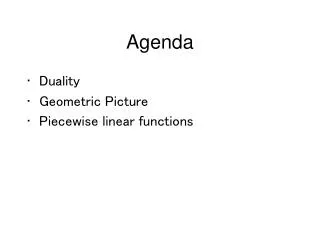
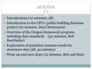
AGENDA Introductions (10 minutes, all) Introduction to the CFO's public building database project (20 minutes, Dan Christensen) Overview of the Oregon framework program, including data standards (30 minutes, Bob DenOuden) Exploration of potential common needs for structures data (all, 45 minutes) Wrap up and next steps (15 minutes, Bob and Dan)
Oregon GIS Framework overview of the fit program Presented to the Public Building Data Model Kickoff meeting Bob DenOuden 9/23/2014
Framework Vision Framework data are fundamental geospatial data elements, typically statewide in extent, considered to be authoritative, and intended to serve the purposes of a broad range of users. Framework datasets are organized into fifteen themes, developed to agreed upon standards, and maintained through a voluntary collaborative community based effort under stewardship agreements participated in by local, regional, and state level agencies within Oregon.
What is Geospatial Data? Geospatial data is information that identifies the geographic location and characteristics of natural or constructed features and boundaries on the earth, typically represented by points, lines, polygons, and/or complex geographic features.
Framework Organizational Structure • Organized into 15 themes; seven national NSDI framework themes and eight Oregon themes • Each theme guided by a multi-agency Framework Implementation Team (FIT) led by a FIT chair • Framework Coordinator administers the program • Framework is under overall leadership of Oregon Geographic Information Council (OGIC) • OGIC policy support from Oregon GIS Policy Advisory Committee (PAC) • GIS Program Leads (GPL) is technical advisory group to OGIC
Framework Implementation Teams 251 data elements 13 workgroups 23 standards 76 agencies: federal, state, local, private, non profit Hundreds of participants
How Framework Program Works Framework data standards designed to meet multiple needs Periodic Framework Implementation Team (FIT) meetings for collaboration and standards development FITs draft standards and present them to GIS community at Framework Forums OGIC adopts standards once approved by GIS community at a Framework Forum Data published to Oregon Spatial Data Library (OSDL), through web based services, and elsewhere
Example Standards Theme Standard version BioScience Fish Habitat Distribution Data Standard 2.0 Preparedness FGDC Address Standard FGDC stnd Administrative Boundaries Administrative Boundary Standard 2.0 BioScience Fish Barrier Standard 1.1 BioScience Wetlands Mapping Standard 2.1.1 Cadastral Cadastral Data Exchange Standard 3.0 Reference Map Element Standard 1.0 Climate Oregon Climate Data Standard 1.0 Elevation Terrestrial Raster Elevation Data Standard 1.04 Elevation Terrestrial Vector Elevation Data Standard 1.1 Elevation LidarData Standard 1.1 Geodetic Control Geodetic Control Data Content Standard 3.0 Geoscience Geology Data Standard 1.0 Geoscience Soils Geographic Data Standard FGDC stnd Geoscience Landslide Data Standard 1.0 Hydrography Water & Monitoring Well Data Standard 1.0 Hydrography Hydrography Data Standard 2.0 Imagery Aerial Imagery Index Data Standard 1.08 Transportation Road Centerline Data Standard 5.0 Land Use/Land Cover Land Cover Standard 1.0
Framework: More Than Standards • Data Stewardship • Keeping data current • Providing accurate metadata • Making data “authoritative” • Data Sharing • Data for download from Oregon Spatial Data Library • Published web services • Data viewers • Institutional Relationships • Communications and information sharing • Forums and regular meetings
So…how do we start? • Common interests? • Is there overlap? • If so, form a workgroup to draft a standard • Existing standards to leverage? • Addresses (FGDC standard) • Structures and Places/National Structures Dataset • Others? BIM, Facilities Management (ESRI), 3D GIS models • Related Framework Data Elements (undeveloped) • Public Building Footprints (Preparedness FIT) • Numerous function-specific facilities data elements (schools, public safety, energy facilities, etc…)