
LOWER SCHUYLKILL MASTER PLAN
E N D
Presentation Transcript
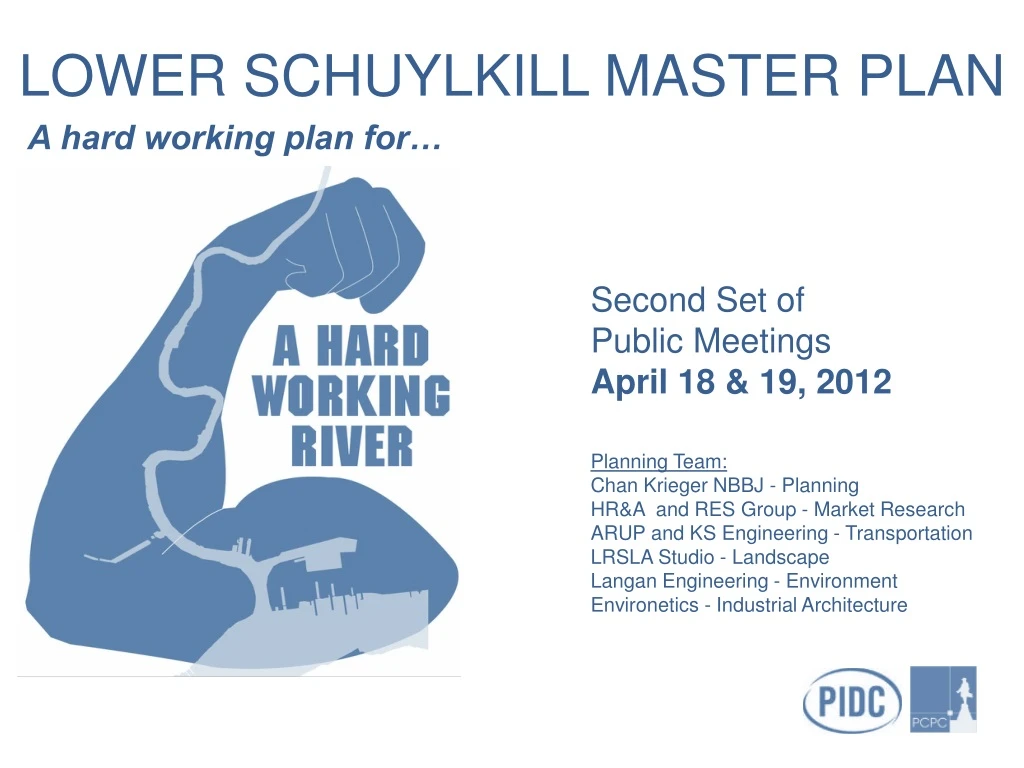
LOWER SCHUYLKILL MASTER PLAN A hard working plan for… Second Set of Public Meetings April 18 & 19, 2012 Planning Team: Chan Krieger NBBJ - Planning HR&A and RES Group - Market Research ARUP and KS Engineering - Transportation LRSLA Studio - Landscape Langan Engineering - Environment Environetics - Industrial Architecture
What is the Lower Schuylkill? 4,100 acres of historically industrial land • Most land is zoned industrial • Primary uses: refining, utilities, freight rail, transportation and scrapyards • Limited residential (approx. 5%) 68% of the City’s vacant and under-utilized industrial land is concentrated here
Why do we need a Master Plan for the Lower Schuylkill? • Identified as a key industrial re-development area by: • Industrial Land Utilization and Market Strategy for the City of Philadelphia • Philadelphia2035 • Jobs were lost over the past as businesses downsized, relocated or closed (e.g. DuPont, MAB, Sunoco) • Remains isolated and disconnected despite being strategically located • Access challenges and site conditions have deterred market-driven, parcel-by-parcel redevelopment • Several large-scale recent projects signal change and opportunity (e.g. Food Distribution Center, U.S. Postal Service)
Key Assets in the Lower Schuylkill • Strategic location: in between PHL, University City, the Navy Yard and Center City • Large parcel sizes • Industrial character & zoning • Proximity to transportation networks • Existing infrastructure • Historic assets (Bartram’s Garden, Woodlands)
Challenges • Contamination • Constrained highway access • Poor internal road network • Outdated infrastructure • Lack of public river access • Significant amounts of rail infrastructure • Complicated site control issues • Blight
6 Principles of the Master Plan 1 - Create an Identity for the Lower Schuylkill 2 - Connect the Lower Schuylkill 3 - Protect and Foster Diversity and Flexibility 4 - Reveal the Hidden River 5 - Prioritize Job Creation and Growth 6 - Restore Land and Water with Green Infrastructure
Vision for the Master Plan To create an innovative 21st century industrial district for GEDs to PhDs
EMPLOYMENT DISTRICTS A. Innovation District C. Active Industry Schuylkill River • Energy production: • Oil refining, pending the outcome of current efforts to sell the refinery • R&D, Advanced Manufacturing: • Later stage R&D • Biotechnology • Material science • Hospital-related industries • University-related uses • Medical devices • Fabricators Lindbergh Blvd I-76 Passyunk Ave D. Essington • Airport and Transportation Uses • Just-in-time uses that require airport proximity • Transportation, warehousing and distribution • Airport service providers • Airport-related uses B. North Yard Penrose Ave • Distribution/ warehouse: • Regional and local distribution with potential for rail service • Warehousing • Traditional manufacturing I-95 Delaware River Vision Overview
INNOVATION DISTRICT Innovation District • Build on momentum of Penn’s redevelopment at South Bank • Extend University-related use to Bartram’s Crescent on west side of Schuylkill River • Unlock potential of site with N/S road on west side of the river • Take advantage of university demands for open space and recreation • Consider existing space for “start up” business to spur further growth
INNOVATION DISTRICT – EAST BANK South Bank (Penn) University City Long-term potential redevelopment site (Waste Management and Trolley Works) Woodland Cemetery GRAYS FERRY WHARTON STREET I-76 SCHUYLKILL EXPRESSWAY Mixed-use gateway at Grays Ferry and 34th Street Forgotten Bottom Neighborhood REED STREET
INNOVATION DISTRICT – WEST BANK R&D and Advanced Manufacturing University of the Sciences 47TH STREET Rec Center GRAYS FERRY 49TH STREET RAILWAY 51ST STREET Renovation of existing structures Active waterfront
INNOVATION DISTRICT – ECONOMIC OPPORTUNITY The Lower Schuylkill Innovation District will help Philadelphia’s innovation employment base remain competitive nationally. 53k *Based on HR&A assessment of 2010 employment data from the Bureau of Labor Statistics.
THE NORTH YARD • Assemble and prepare parcels for advanced manufacturing, traditional manufacturing and warehouse/distribution (location and need dependent). • “Shovel ready” underutilized sites and single ownership allow for more immediate development • North Yard offers large parcels and access to I-76 • Extension and improvements to 34th St provides connection between the North Yards and University City Sunoco North Yards: 250 acres Looking north to Bartram’s Garden over new waterfront park
THE NORTH YARD Philadelphia Gasworks PASSYUNK BRIDGE Sunoco West Yards Sunoco Active Refinery Looking north to Bartram’s Garden over new waterfront park
ESSINGTON • Likely to remain Wholesale/Distribution: • Airport related uses • Evolution of car dealerships into distribution • Take advantage of airport related uses • Infill development where possible • Retrofit green infrastructure • Provide connectivity to river and neighborhoods DEALERSHIPS/SCRAP Produce Center Eastwick Industrial District
ESSINGTON DEALERSHIPS/SCRAP Eastwick Industrial District Establish the Campuses: Essington
ACTIVE INDUSTRY • Currently an active refinery • Sunoco plans to sell or idle the facility by the summer of 2012 • Future plans hinge on the success of those efforts • Any long-term re-purposing will involve substantial site work and infrastructure removal
HOW DO WE ACHIEVE THIS TRANSFORMATION? Economic Tools Increase Potential for Growth Annual Growth Space Acres Est. Jobs Land Use Framework 280k SF 23 200 Baseline Public Leadership Infrastructure Improvements 450k SF 39 480 Potential Growth 1.5M SF 129 1,600 Total City-Wide Growth Long-Term Innovation Strategy
INFRASTRUCTURE IMPEDIMENTS • No direct connection between I-95 and I-76 West • Highways and rail viaducts obstruct local access • I-76 establishes barrier to site on the east side • Few east-west connections are available for cross-city destinations • Bridge crossings are far apart (up to 2 miles at points) • N/S circulation is limited to highway and Lindbergh Blvd (no internal N/S route) Schuylkill River
IMPROVE NORTH-SOUTH CONNECTIVITY Overall north-south connections are necessary to: • Provide N/S circulation within the study area • Provide an alternate route between the airport and University City/Center City for passenger vehicles • Unlock access and development potential for parcels on the west side of the river north of Passyunk • Direct truck traffic to Essington/Passyunk for internal N/S truck circulation Schuylkill River Lindbergh Blvd I-76 Passyunk Ave Penrose Ave I-95 Delaware River
IMPROVE NORTH-SOUTH CONNECTIVITY • Phased river road on the West Side: • Provides an amenity for future development • Provides a trunk for new streets to branch off • Establishes a destination for neighborhood streets • Supports a revived waterfront • Provides recreational amenity adjacent to it Schuylkill River Lindbergh Blvd I-76 Passyunk Ave Penrose Ave I-95 Delaware River
IMPROVE NETWORK AND CONNECTIVITY • New arterials will significantly improve: • North-south and east-west access to and through the study area for residents, businesses and employees • Circulation within the Study Area • Access to and from development sites Schuylkill River Lindbergh Blvd I-76 Passyunk Ave Penrose Ave I-95 Delaware River
IMPROVE NORTH-SOUTH CONNECTIVITY • Stengthen Essington-Passyunk spine as the main goods movement road: • Connections to I-76 and Bartram Ave • Connections into center of study area • Ties to new river road at Passyunk Bridge • Create a new green street opportunity Schuylkill River Lindbergh Blvd PROPOSED I-76 Passyunk Ave Essington Ave Penrose Ave Bartram Ave I-95 Delaware River EXISTING
IMPROVE NORTH-SOUTH CONNECTIVITY • 34th St improvement and extension proposes a more people friendly streetscape and connection to area south of Grays Ferry Ave • Future 47th Street connection creates access to parcels on the west side of the river 49th Street WEST SIDE EAST SIDE
PASSYUNK BRIDGE 61st STREET 59th STREET 57th STREET 51st STREET GRAYS FERRY 49th STREET University of the Sciences 47th STREET Establish the Campuses: Bartram Connector
IMPROVE EAST-WEST CONNECTIVITY • 1. New through streets provide additional connectivity for the city: • >Snyder Avenue to 58th Street • 2. Connect people from one area of the city to resources in another adjacent, but hard to reach area: • >Southwest Philadelphia to FDR Park (63rd to Pattison) • 3. Reduce crossing opportunities which can be as far as two miles apart Schuylkill River 1 I-76 2 Passyunk Ave Lindbergh Blvd Penrose Ave I-95 • Existing Bridge and Connection • Proposed Bridge and New Connection
INTERNAL ACCESS & CIRCULATION • New Road Network: • Large “block” structure to allow for future sub-division and internal streets • Creates east-west connections through site and into adjacent neighborhoods • Creates riverfront road to spur development and establish city-wide connections Schuylkill River Lindbergh Blvd I-76 Passyunk Ave Penrose Ave I-95 • Existing Road- unaltered • Existing Road- retrofit • New Road Delaware River Big Moves: Transportation
CREATE A HARDWORKING ROAD NETWORK • “Green Street” network provides high-quality access and circulation with great aesthetics and stormwater management capabilities Schuylkill River Lindbergh Blvd I-76 Passyunk Ave Penrose Ave I-95 Delaware River • Green Connections
SIGNATURE GATEWAYS SUPPORT NEW IDENTITY • Create significant gateways: • Create iconic site entrances for vehicles, pedestrians, cyclists • Connect to surrounding neighborhoods • Provide clear wayfinding to the site • Address rail crossing challenges Schuylkill River Lindbergh Blvd I-76 Passyunk Ave Penrose Ave Gateway to LAX I-95 Delaware River Michigan Ave - pedestrian under-crossing
TRANSIT TRANSIT TRANSIT FUTURE TRANSIT OPPORTUNITIES Shuttle connection to University City area and possible future rail station Shuttle Extension as Area A develops southward Potential east side shuttle route depending on land use and density of new development Shuttle extension connecting to possible future rail station as Area C develops Future rail station at Eastwick if density warrants
GREEN INFRASTRUCTURE Proposed: 147 acres of Study Areas Open Space is dedicated to stormwater management 8.3 acres
BUILD A DISTRICT-WIDE TRAIL NETWORK Bike Network • Extend the Schuylkill River Trail • Connect to existing and future destinations, including: • Bartram’s Garden • FDR Park • Fort Mifflin • Heinz Wildlife Refuge • Connect to the East Coast and • Cobbs Creek Greenways • Develop a multi-purpose trail network which: • Provides an amenity for residents and employees • Supports on-road and off-road trails • Functions as part of a comprehensive stormwater management system
CONCEPTUAL RIVER TRAIL Typical Trail Section at River: Bulkhead Typical Trail Section at River: Wetlands
NEIGHBORHOOD ACCESS TO THE RIVER • 47th Street • Wharton St • 58th Street • 63rd Street • Snyder Avenue • 75th Street • Pattison Avenue
ADD NEW PARKS WoodlandCemetery Cobbs Creek Bartram’s Garden East Side Open Space Yankee Point Park FDR Penrose Park To Fort Mifflin
GREENSPACE NETWORK - YANKEE POINT PARK Louisville Boston • Yankee Point peninsula has • the potential to be a strategically • located park and greenspace area • Potential features include: • River Trail • Open Space • Boat Access • Sports Fields • Wetlands
GREENSPACE NETWORK - NORTH YARD Park East Side • Potential for open space along the river’s edge • Wetlands • Open Space • University Athletic Fields • River Trail Access
GREENSPACE NETWORK - ATHLETIC FIELDS • The Lower Schuylkill contains multiple sites which may be suitable for a university athletic field complex • Why athletic fields? • Athletic fields bring value to sites with conditions that can’t support more intensive development • Athletic fields can augment stormwater management systems
Facilitated Discussions Please take time to visit the four stations to share your thoughts and VOTE Facilitators will explain each station’s key questions that will help us prioritize 1 JOBS & ECONOMIC DEVELOPMENT 2 ROAD INFRASTRUCTURE & TRANSIT 3 ENVIRONMENT & GREENSPACE 4 IDEA DEPOT