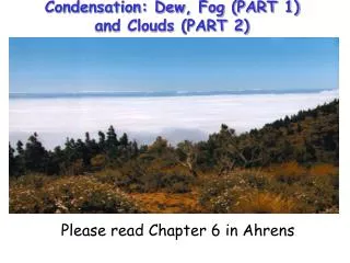
Understanding Cloud Formation: Types, Characteristics, and Heights
Clouds form when air cools to the dew point, reaching 100% relative humidity. Key processes that cause air to rise include topography, fronts, convection, and convergence. Clouds are classified by height (low, middle, high) and characteristics (flat or puffy). The four main cloud types are Cirrus, Cumulus, Stratus, and Nimbus, each with Latin roots indicating their features. Low clouds form below 5000 feet, middle clouds between 2,000 and 7,000 feet, and high clouds above 7,000 feet, with distinctions in their formation and appearance.

Understanding Cloud Formation: Types, Characteristics, and Heights
E N D
Presentation Transcript
How can clouds form? • Air needs to be cooled to saturation. I.e. air cooled to dew point. I.e air reaches 100% RH • As air rises, it cools * How to force air to rise: • Topography • fronts • convection • Convergence ---> <---- 2) Surface cools off quickly by emitting radiation 3) Air moves over colder surface/ into cooler area
Cloud characteristics • Clouds are identified by their height (low, medium and high) and by their visual characteristics (flat or puffy). • The four basic cloud groups are: • Cirrus: _________________________ • Cumulus: _______________________ • Stratus: ________________________ • Nimbus: ________________________
Where do these terms come from? • The basic classification terminology has Latin roots: • Stratus (Latin for "layer") to describe sheet-like (stable) clouds. • Cumulus (Latin for "puffy") to denote a cloud with some puffy vertical (unstable) extent. • Cirrus (Latin for "curl of hair") denotes a wispy high level cloud. • Nimbus (Latin for "violent rain") means a rain cloud.
Cloud Classification As a first distinction, we classify clouds by the height of the cloud base. LOW CLOUDS • Low clouds have a base below 5000ft. • Stratocumulus (Sc), Stratus (St) and are the primary low-level clouds
Cloud Classification MIDDLE CLOUDS • Middle Clouds have a cloud base in the range of 2 - 7 km (6000-23,000ft). • Altostratus (As) and altocumulus (Ac) are the primary middle level clouds.
Cloud Classification HIGH CLOUDS • High clouds typically refer to clouds with a base above 7 km (23,000ft) altitude. • Cirrus (Ci), Cirrostratus (Cs), and Cirrocumulus (Cc) are all high level clouds.
Cloud Classification • High level clouds tend to be fuzzy in comparison to low level clouds. • This is primarily because high level clouds are made of ice crystals instead of droplets. • Ice crystals usually evaporate slowly and thus have more time to diffuse.
Cloud Classification Three primary cloud classes overlap the height bands: • Cumulus (Cu) • Cumulonimbus (Cb) • Nimbostratus (Ns) “nimb-” defines that the cloud is precipitating. “cumul-” defines that the clouds are a result of convection. “strat-” defines that the clouds are layered clouds. Various terms are commonly intermixed and aren’t limited to any given altitude.