Download
1 / 24
240 likes | 267 Vues
Learn about the Water-Based Growth Corridor approach focusing on intensifying irrigated agriculture in high resource potential areas. Discover the objectives, rationale, and development processes of this initiative for sustainable economic growth.

E N D
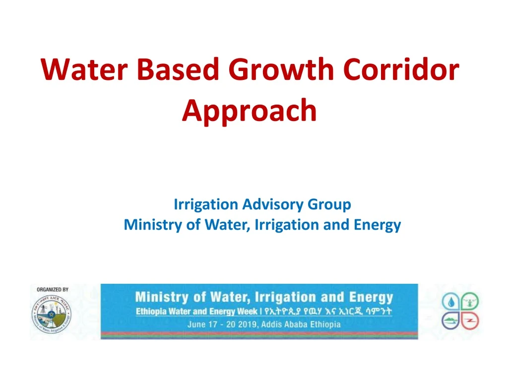
Water Based Growth Corridor Approach Irrigation Advisory Group Ministry of Water, Irrigation and Energy
1 • 2 • 3 • 4 • 5 • Definition of a Water Based Growth Corridor • Rationale of WBGC Initiative • Objective and Goal of WBGC • Processes for the Development of WBGC • Draft Concept of GC for Lower Omo-Gibe basin • Presentation Outline
What is a WBGC? • Growth Corridor (GC) – a development model to create jobs, mobilize resources and stimulate key economic sectors sustainably. • WB Growth Corridor (WBGC) – a water centered integrated development approach to intensify irrigated agriculture on areas/basins with high resource potential. • It helps in concentrating resources and efficiently utilizing them. • It creates forward and backward linkage of irrigated agriculture with other economic sectors.
What is a WBGC? • Ethiopia has 12 RB & each with many sub-basins • Master Plan studies – 3.7 mha • IWMI (2010) – 5.4mha • ATA (2018) – 11.1mha • GIRDC (2018) - over 21 mha • A WBGC refers to area with high resource potential • EntireRiver basin or • one or more of its sub-basins
Rationale of a WBGC initiative • Need for concentration and coordination of resources • concentrate development efforts on potential areas to offer both high productivity and a huge investment opportunity • Need for Coherence with the National and SDG Strategies • the growth corridors shall offer the potential to help reduce rural poverty, improve food and nutrition security, and improve environmental sustainability. • Need to address high rate of rural youth unemployment • the growth corridor shall offer the best possible way to assure the rural youth a better future through various on-farm and off-farm employment opportunities within the value chains.
Objectives and Goal Irrigation Development • increased agricultural productivity and improved food security • increased the income and changed the livelihood of farmers • allowed the development of supportive investments in the value chain • created competitive, profitable and rapidly growing agricultural sector • properly managed land and water resources Market & IP Input
Draft Concept of GC @ Lower Omo RB • Location: • Covers the south-western part of the country; • within administrative areas of Oromia & SNNPR; • Topography: • Upper part = rugged topography & mountainous landscape (with 900 – 3300m a.s.l) • Lower part = lowland plain topography (300 – 900 m a.s.l)
Draft Concept … • People & Source Livelihoods: • O-G basin is home to millions of people with subsistence level livelihoods • Predominant source of livelihood is • Agriculture for the Highlanders & • Pastoralism for the Lowlanders • Water Resource Potential: • O-G basin is endowed with 17.9 BCM/year water resource
Irrigation Development Status in Omo-Gibe Basin Background Negligible………….. for an area with ① 18 BMC water resource potential per year ……..& ②Tens of millions of people engaged in subsistence level livelihood !?! …… Irrigated area in the Basin increased from 10,000 ha (1996) to 175,000 ha (2018)
Findings of the Omo-Gibe Master Plan Study (1996) ❶Potential SSI & M/LSI: <100,000 ha ❷ Constraints to expansion of irrigation in the Basin • Upland: Unsuitable Topography • Mountainous & rugged landscape; • Perennial streams are in deeply cut valleys (at elv. of <900 – 1500 m), but • arable land elv. is above 1500 m • Lowland: is plain but soil has unfavorable properties for the commonly irrigated crops • Crevassing, sodicity, poor drainage, vertisol
Proposed Interventions –-- 4 project components may be identified C-1 C-1 C-4 C-4 C-3 C-2 C-4 C-3 C-2 C-4
Proposed Area of Intervention .Component 1: Upland Areas (1-1) Small scale irrigation using (i) Water harvesting (dams, ponds, spate….) (ii) Shallow GW integrated with MAR (fractured rock system + ample runoff) (1-2) Enhance rainwater productivity (by scaling up existing SLM practices) Key Actors: Communities, MOA & Development Partners in partnership with MOWIE Role of MOWIE: To facilitate technical support for the effective implementation of WH, MAR and SLM
Proposed Area of Intervention .Component 2: lowland Area flanking the Omo River Irrigated pasture on 250,000 ha (Note: water requirement of grass is low!) . Component 3: lowland (upslope of component 2 area) Irrigation on 350,000 ha integrated with Managed Aquifer Recharge
Proposed Area of Intervention Component -2 Basic Facts ① the plain area flanking the Omo valley is marginally suitable for irrigation (b/c of unfavorable soil properties) (Master plan study, 1996). ② Soil properties were confirmed by Kuraz Sugar development soils study, 2013 Our observation: The soils are good for pasture ҉ Objective of Component 2 Pasture development (for value addition & export) Key Actors: Communities, MOWIE, MOAL, Pastoralist Affairs & Development Partners. Role of MOWIE: Technical studies, construction, technical capacity building on water management Irrigation Suitability map Master Plan (1996)
Component 2 - Proposal …..issue to be resolved • Basic facts: • Irrigation scheme layout for the area flanking the Omo River (250,000 ha) was prepared by MOWR, 2010 for non-pasture crops regardless of the soil conditions. • Outstanding Issue: Crop Choice • (option 1): Pasture (for value addition & export) • (option 2): go for other crops & get low result Option 9- Diversion Right Side: 150,000ha Left Side: 100,000ha Total: 250,000ha Irrigation Suitability map Master Plan (1996) Source: MOWR, 2010. Feasibility Level Design of Ratte Irrigation Project. Addis Ababa
Component 3 Proposal The pink colored polygon (>350,000 ha) has good aquifer characteristics (Master plan, 1996), However, it is empty aquifer b/c natural GW recharge is almost nil Component 3 site Component 2 site Irrigation Suitability map
Component 3…Proposal Our Proposal The site has a good potential for implementing MAR; growing various crops Key Actors: MOWIE, MOAL, Pastoralist & Development Partners Role of MOWIE: Technical studies, construction, technical capacity building on water management Hydrogeological Potential map
. Component 4: lowland Seasonal flood diversion for Spate Irrigation of pasture MAR (enhance drinking water supply) Source: Spate Irrigation Network. Spate Irrigation Systems in Raya Valley (Ethiopia): Overview Paper #13
. Summary