Download
1 / 12
860 likes | 2.54k Vues
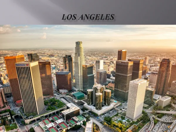
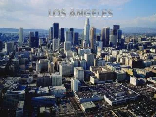
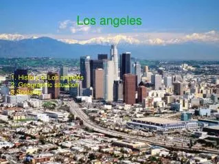
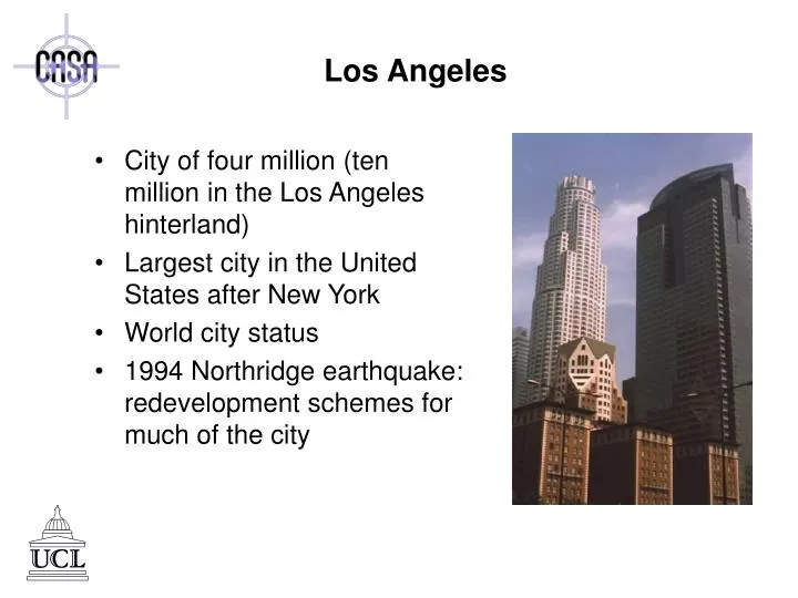
Los Angeles. City of four million (ten million in the Los Angeles hinterland) Largest city in the United States after New York World city status 1994 Northridge earthquake: redevelopment schemes for much of the city. UCLA Virtual Los Angeles Project.

E N D
Los Angeles • City of four million (ten million in the Los Angeles hinterland) • Largest city in the United States after New York • World city status • 1994 Northridge earthquake: redevelopment schemes for much of the city
UCLA Virtual Los Angeles Project • Real-time simulation of Los Angeles basin (10k sq. mi.) • “Accurate enough for the graffiti on walls and signs in windows to be legible” • Developed using Multigen software • Requires very advanced computing hardware and resources Downtown LA & LAX Airport
3D Metric Orange County • Virtual simulation tool for planning wireless communications • Building-by-building database • Little known about cost of development or maintenance Orange County, California
Planet 9 Virtual Los Angeles • Web-based VRML models • Los Angeles County, Downtown, Convention Center, Beverly Hills • Commercial demo., community outreach, virtual information tool Los Angeles County & Rodeo Drive
San Francisco • San Francisco Bay Area: San Jose, Palo Alto, Silicon Valley, San Francisco, Berkeley, Oakland • Earthquake redevelopment • Financial District dominated by banking and investment houses
Planet 9 Virtual Bay Area • Commissioned by NASA • Impressively detailed: 4000 buildings, each texture mapped • Impressive vistas as a backdrop to the built environment • High end simulation Bay Area
Planet 9 Virtual San Francisco 2.0 • Commissioned by NASA • Impressively detailed: 4000 buildings, each texture mapped • Impressive vistas as a backdrop to the built environment • High end simulation Downtown San Francisco
Planet 9 Online Models • Moscone Center, Rincon Hill, SOMA, W. SOMA, South Beach, Union District, Financial District • VRML based online models • Advertising, information, community resources, e-commerce • Desktop solution SOMA and Union Districts
Chicago • Third largest city in the United States • Regional capital for the Midwest • Historical epicentre for the ‘Chicago School of Urban Geography’ • Financial district, the Loop, houses the Chicago Board of Trade (CBOT)
Planet 9 Virtual Chicago • Web-based virtual environment • Accessible with minimal computing resources • Potential for interactive functionality: e-commerce, information tool • Not as fully developed as San Francisco online models Chicago skyline and detail
3D Metric Chicago • Virtual simulation tool for planning wireless communications • Building-by-building database containing information such as building heights, foliage, etc. Downtown Chicago
Urban Data Solutions Chicago • Integrated CAD, GIS, and VR models • ‘On-Net’: an online environment for organizing infromation • High-end PC hardware • Microstation software • Medium cost solution Downtown Chicago