
SlideServe
Menu
Préférences
© SlideServe · v2026

Updating Statistical maps

menefer avatar
28 diapositives · 436 Views · Sep 09, 2014

This project focuses on integrating GPS technology to update statistical maps for rural and urban regions. Utilizing the NAVSTAR GPS satellites manufactured by Rockwell International, we address various projection errors that impact map accuracy, such as atmospheric and clock errors. By employing differential GPS techniques and choosing appropriate receivers, we aim to enhance the precision of rural maps (scale 1:50,000) and urban maps (scale 1:2,000). The outcomes will significantly improve navigation and planning for two provinces, overcoming challenges like high buildings and trees that cause signal disruption.
Updating Statistical maps - slide 1
01 / 28Updating Statistical maps
1 / 17

Télécharger la présentation

Updating Statistical maps
Une image / un lien ci-dessous est fourni (tel quel) pour télécharger la présentation

Politique de téléchargement : le contenu du site vous est fourni TEL QUEL pour votre information et votre usage personnel ; il ne peut être vendu, concédé sous licence ni partagé sur d’autres sites sans l’accord de son auteur.Le contenu vous est fourni TEL QUEL, pour votre information et votre usage personnel uniquement. Téléchargez la présentation en cliquant sur ce lien. Lors du téléchargement, si vous ne parvenez pas à télécharger une présentation, l’éditeur a peut-être supprimé le fichier de son serveur.Pendant le téléchargement, si vous ne parvenez pas à obtenir une présentation, le fichier a peut-être été supprimé par l’éditeur.

F I N

Plus de contenu associé

Transcription de la présentation
  1. Updating Statistical maps with GPS

  2. Global Positioning System Space segment Control segment Users Segment

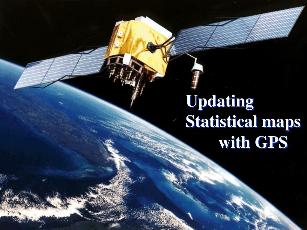
  3. Space segment GPS Satellites Name: NAVSTAR Manufacturer: Rockwell International Altitude: 10,900 nautical miles Weight: 1900 lbs (in orbit) Size:17 ft with solar panels extended Orbital Period: 12 hours Orbital Plane: 55 degrees to equatorial plane Planned Lifespan: 7.5 years Current constellation: 24 Block II production satellites Future satellites: 21 Block IIrs developed by Martin Marietta

  4. Users Segment

  5. Projection

  6. Errors: Atmospheric error Clock & Orbit Error Multi path Error S.A. (Selective Availability) A.S. (Anti Spoofing) DOP(Dilution Of Precision)

  7. Differential GPS

  8. Positioning Methods: Static method Kinematic method Stop & Go method

  9. Choosing suitable receiver:

  10. Updating Statistical maps with GPS 1- Rural Maps (Scale 1:50000) 2-Urban Maps (scale 1:2000)

  11. Rural Maps: مرغداري حيدري

  12. Updating Roads:

  13. Urban Maps:

  14. Urban Maps:

  15. Problems: in the urbanareas the high buildings and trees were caused cycle slip and slowness the work.

  16. Result: updating the urban and rural maps of 2 provinces.