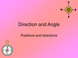
Location and Direction
This chapter explores the fundamentals of latitude and longitude, essential components of Earth's coordinate system. Learn how these imaginary lines help determine locations, with practical applications in GPS and geocaching. Discover the variations in distance per degree of longitude and latitude, and examine concepts like angular measurement, true north, magnetic north, and the importance of bearings in navigation. Enhance your understanding with calculations for converting between different formats of angle measurements and learn to plot traverses accurately.

Location and Direction
E N D
Presentation Transcript
Location and Direction Chapter 07
Latitude and Longitude • The earth is gridded by imaginary lines called: • Longitude • Latitude
Building 16-105 @ Highline CC • Latitude = 47.389806 • Longitude = 122.299408 • http://itouchmap.com/latlong.html
GPS coordinates • Global Positioning System • Geocaching
Length of a degree of Longitude • The length of a degree of longitude decreases as you travel from the equator to the north or south pole. • Seattle: 1˚ ≈ 47 miles
Length of a degree of Latitude • Parallels are constructed approximately the same distance apart. • Seattle: Seattle: 1˚ ≈ 69 miles
Distances • Your text book covers finding the distance between to locations. • Remember: The earth can be approximated as a sphere.
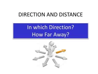
Direction • The angular relation of one line to another • Measured in Degrees • A complete circle is equal to 360˚
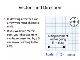
Degrees….not base10 • 360˚ = complete circle • 1˚ = 60’ = 60 minutes • 60’ = 60” = 60 seconds • For example: 50˚30’45”
Calculations • Converting from decimal degrees to degree/minutes/seconds. • Adding Angles • Subtracting Angles • borrowing
Surveyor’s Compass • Used to measure bearings or included angles.
True North (TN) • Location of the North Pole
Magnetic North (MN) • Magnetic North is where the compass north arrow points.
Magnetic Declination • The meridian indicated by the needle on a compass seldom coincides with the true meridian. • http://www.ngdc.noaa.gov/geomag/declination.shtml
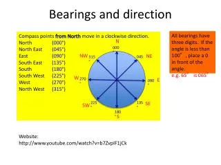
Bearings • Angle to the north or south meridian from the quadrant east or west.
Plotting a traverse • POB – Point of beginning • Error of closure