Download
1 / 1
30 likes | 314 Vues
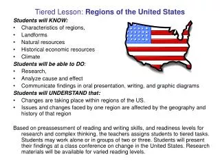
U.S./Canada Landforms and Climate. Critical Thinking Questions- Read about these landforms on pgs 116-122 Compare and Contrast- pg 118- Interior Lowlands

E N D
U.S./Canada Landforms and Climate • Critical Thinking Questions- Read about these landforms on pgs 116-122 • Compare and Contrast- pg 118- Interior Lowlands • Why do certain regions in U.S. and Canada have conditions that allow for crop growth/production, and why are other regions unable to produce significant crop growth? Example: Great Plains vs. Canadian Shield. • How did building the St. Lawrence Seaway change the land? How have the United States and Canada benefited from the St. Lawrence Seaway? Pg 119- The Great Lakes • Why is the Mississippi River important?- pg 120 • Where are the following severe weather conditions most likely to occur? Why? Drought, tornado, hurricane, blizzard. • Use pages 124-128