Data Acquisition
Data Acquisition. How does one get data for GIS projects?. Remote Sensing. Fires and deforestation in Brazil. Remote Sensing. Crops around Enid, Oklahoma. Aerial Photography. Wolf River in Fayette County, Tennessee. Field Sampling of Attributes. GPS (Global Positioning System).

Data Acquisition
E N D
Presentation Transcript
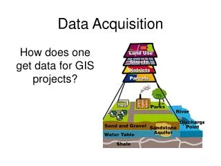
Data Acquisition How does one get data for GIS projects?
Remote Sensing Fires and deforestation in Brazil
Remote Sensing Crops around Enid, Oklahoma
Aerial Photography Wolf River in Fayette County, Tennessee
Objectives • familiarize students with GPS data collection, • 2) show students how location data are entered into ArcMap, • 3) quantify the extent of kudzu coverage in Overton Park as of February, 2001.
Procedures • Students were given an in-class description of GPS technology • Local volunteers guided students to kudzu patches and helped take coordinates of patch edges
Location of kudzu patch edges in Park recorded with GPS Georeferenced map of Overton Park was downloaded from the web These data were put into an Excel spreadsheet Data were imported into ArcMap (GIS program) Map was imported into GIS program + Kudzu patches drawn as polygons and area determined Finished layout (map) generated
Students created a layout, which was turned in with their calculation of total area covered by kudzu.
Data Acquisition Start your GIS analysis by figuring out what information you need. This is most often in the form of a question: Where were most of the burglaries last month? How much forest is in each watershed? Which parcels are within 500 feet of this liquor store? Be as specific as possible about the question you want to answer. This will help you decide what data to acquire.