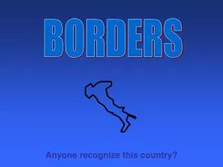
AUSTRALIA BORDERS
AUSTRALIA BORDERS. Border facts.


AUSTRALIA BORDERS
E N D
Presentation Transcript
Border facts • The Australian Capital Territory is the only land-locked state or territory in Australia, and Tasmania the only island state. The Northern Territory is the only jurisdiction which has a shorter mainland coastline than the combined coastline of all its islands.
Longest border • New South Wales has the longest border of all the states and territories. It adjoins Queensland, South Australia, Victoria, the Australian Capital Territory and Jervis Bay Territory, making a total of 4 635 kilometres. • Shortest border • A little known fact is that there is a land border between Tasmania and Victoria. Straddling the declared parallel line of latitude of 39° 12' S separating the two states is Boundary Islet. This rocky outcrop in Bass Strait measures approximately 85 metres east-west by 160 metres north-south.
Border histories • The definition of where state and territory boundaries lie has been constantly reviewed, sometimes causing great contention. Although most of the boundaries were defined in letters of patent by meridians, determining the physical ground position that corresponds with those meridians has never been easy. • Floods, droughts, and frequent lack of supplies were just a few of the challenges dealt with by colonial surveyors. Facing the same harsh conditions as early explorers in Australia, surveyors also had a difficult job to do. Errors in the astronomically determined positions of observatories in Melbourne and Sydney didn't help matters either as surveyors of the time relied heavily on tying their observations back to known coordinate positions. • Given the possibility of discrepancies, border disputes have occurred between several states. Generally speaking, rulings have upheld the position of borders with established physical references or property lines. This is despite the advent of technologies which allow modern surveyors to accurately plot their location as originally described in the letters of patent for the formation of specific states. As a result, few state borders are actually where they were originally intended, or as simple as a straight line marked by a meridian of longitude.
Myrsini Anna