Visualizing Regional Transportation Projects: A Web Mapping Approach
This presentation by Jeff Schenck and Ellen Currier discusses the innovative use of web mapping to visualize regional transportation projects. It focuses on the Central Lane Metropolitan Planning Organization's efforts to address web mapping needs, highlighting the database development process and the importance of public involvement. Attendees will gain insight into the Metropolitan Transportation Improvement Plan and the Regional Transportation Plan, along with tools like ArcGIS, Adobe Flex, and ColdFusion that support this initiative. Explore the transformation of data into interactive maps for better planning outcomes.

Visualizing Regional Transportation Projects: A Web Mapping Approach
E N D
Presentation Transcript
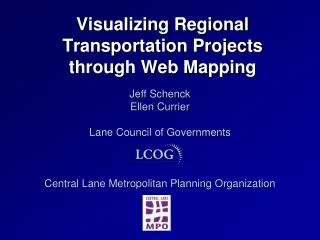
Visualizing Regional Transportation Projects through Web Mapping Jeff Schenck Ellen Currier Lane Council of Governments Central Lane Metropolitan Planning Organization
Presentation Overview • Assembling the team • Background on web mapping needs for the MPO • Database Development Process • Web map tour • Behind the scenes
Project Team Transportation Planners GIS Staff Developers Graphic Designers
Project Background • Public Involvement and Project Visualization • Metropolitan Transportation Improvement Plan: funded Projects that are scheduled to be completed in the next 4 years. • Regional Transportation Plan: 20-year planning document
Inputs for Web Map ArcGIS File Geodatabase Map Service Web Map SQL Server Database Project Details
Behind The Scenes • Application • Adobe Flex • Flash Player Plug-in • Eclipse with Flash Builder Plug-in • ESRI ArcGIS API For Flex • Cold Fusion • Map • ArcGIS Server Map Services • Base Map • Operational Layers
Why Create Your Own Map Service? • Use local data • Complete control of cartographic design • Data currency • Best option at time
The Road Ahead • Redesign base map • New web map options • Flex Viewer • ESRI ArcGIS API For Silverlight • GeoCortex Essentials
Contact www.thempo.org www.lcog.org