Download
1 / 11
110 likes | 141 Vues
Delve into the origins and development of geography as a discipline through key figures like Eratosthenes, Aristotle, and Ptolemy. Learn about map scales, models, and map projections that help us understand our world. Discover the impact of spatial and non-spatial models in analyzing geographic phenomena.

E N D
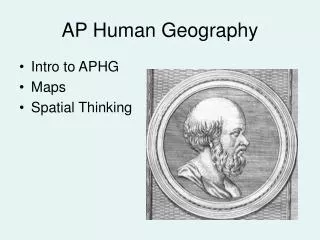
Introduction to AP Human Geography Mr. Stepek
Geography thru history GR #3, 7 - 8 • “geography” from the Greek (Eratosthenes) • “geo” = Earth • “graph” = to write or describe • geography = “to write about or describe the Earth” • Eratosthenes also calculated the Earth’s circumference within .5% accuracy • Aristotle = torrid, temperate and frigid zones • Ptolemy = wrote Guide to Geography (“Geographica”) an eight volume series detailing the cities and peoples of the Earth.
Map scale (relationship of distance on a map to that in reality) (GR 9 – 10) • Expressed in terms of words, fraction, ratio, or bar scale Small scale = large area • Large scale = small area
level of aggregation/generalization(on what “scale” are you analyzing a phenomenon) GR25 Must compare “apples to apples”!!!
Models: Abstract generalization to help explain a common pattern. Spatial models show commonalities in the patterns on the landscapes Non-spatial models show a pattern on other than a map.
“Mapping a 3-dimensional world on a 2-dimensional surface” = Map Projections(GR 11)
Goode’s homolosine “Interrupted” projection All projections have some degree of distortion: size, shape, distance, or direction