
Uploaded by
odessa
6 SLIDES
209 VUES
60LIKES
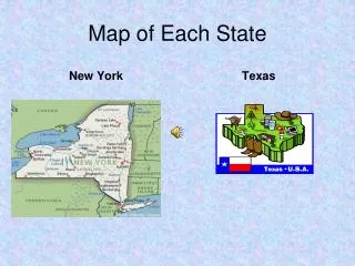
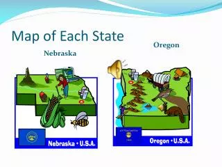
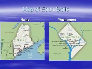
State map with County inset
DESCRIPTION
Improving Flood Risk Communication: Unlocking the Potential of the Water Surface Elevation Grid – Accuracy and Applications. State map with County inset. 2004 FIRM Map index. pdf of single FIRM March 2009. All hazard plan cover Risk Map graphic.
Download
1 / 6
Télécharger la présentation 
State map with County inset
An Image/Link below is provided (as is) to download presentation
Download Policy: Content on the Website is provided to you AS IS for your information and personal use and may not be sold / licensed / shared on other websites without getting consent from its author.
Content is provided to you AS IS for your information and personal use only.
Download presentation by click this link.
While downloading, if for some reason you are not able to download a presentation, the publisher may have deleted the file from their server.
During download, if you can't get a presentation, the file might be deleted by the publisher.
E N D
Presentation Transcript
Improving Flood Risk Communication: Unlocking the Potential of the Water Surface Elevation Grid – Accuracy and Applications
All hazard plan cover • Risk Map graphic
Flood Risk Analysis and Risk Reduction Tool cover • Floodzone 3D screen shot


More Related
Audio
Live Player