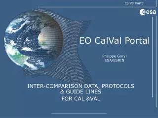
EO CalVal Portal
60 likes | 216 Vues
EO CalVal Portal. EO CALVAL Portal. Instrument characteristics (Radiometry, Spectral resolution, Geometry). Reference Methods and protocols (Cal./Val. Techniques). Satellite data. Calibration Metrics (sensor data). Diagnostic sites (air/land/sea in-situ data).

EO CalVal Portal
E N D
Presentation Transcript
EOCalVal Portal Geneva 04. October 2007
EO CALVAL Portal Instrument characteristics (Radiometry, Spectral resolution, Geometry) Reference Methods and protocols (Cal./Val. Techniques) Satellite data Calibration Metrics(sensor data) Diagnostic sites(air/land/sea in-situ data) Ancillary information networks e.g. AERONET Database e.g. Sade Database e.g. Nilu Harmonisation & Interoperability Requirements Other Agencies Instrument data Catalogue and data access methodology Geneva 04. October 2007
CalvalPortal Structure WebPortal User Services CalValDb FileServer Meta Data optional Data Meta Data InSituReg ProdReg Geneva 04. October 2007
WTF Continuation • Datasets • ETM+: 58 products • ASTER: 38 products • AVHRR: 12 products • SPOT VEGETATION: 12 products • MODIS vegetation indices: 1636 products • MODIS LAI/FAPAR: 3320 products • DEM: 25 products • MOD013: 1645 products • LIDAR: external resource • MERIS: 8 products • CHRIS/PROBA: 25 products • In situ data: external resource • Data remain in their original location • Streaming download of selected products using ftp / http • Future updates of the servers? • Extraction of meta data and Quick Looks • „Server Analysis tool“ to generated meta data and QLs required • Ingestion in the CalValPortal • Meta data model proposed • Integration of sites description in the CalValPortal • MERIS and AATSR are extracted over all WTF sites since December 2006 Geneva 04. October 2007
WTF – CVP Meta data model Location description shall be an OGC conformant WKT string containing a POINT(…) structure for in-situ data and a (closed) POLYGON(…) for satellite data, describing the product boundary coordinates in an appropriate spatial resolution Geneva 04. October 2007
Evolution • WTF continuation • AATSR: full archive reprocessing and rolling archive metric (meris calibration site) extraction • Integration and extension to other IVOS • Integration of geometry validation – methodology, GCP, reference data Proposed standardisation for the geometric validation • Evolution to non optical sensors – SMOS / SAR • Strengthen the link with validation DB • Access to other catalogues/dataset (international cooperation) • Fill the cal/val portal with documentation/projects • Automatise cal/val procedures Geneva 04. October 2007