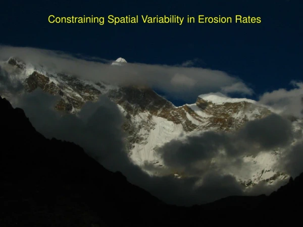
Constraining Spatial Variability in Erosion Rates
200 likes | 234 Vues
This study aims to constrain erosion rates by analyzing various factors including topography data (SRTM, ASTER, DTED, GTOPO30, LANDSAT), climate information (TRMM, Rain Gages, Stage Recorders), and Cosmogenic Isotopes measurements. It includes analysis of Fluvial Incision power and shear stress, discharge needs, river slope, channel width, power distribution, and antiformal uplift. The research also explores the relationship between Zircon Helium Age and stream power, with a focus on understanding erosional processes.

Constraining Spatial Variability in Erosion Rates
E N D
Presentation Transcript
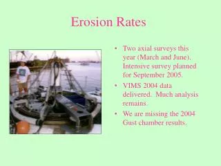
Erosion Indices: -Topography (SRTM, ASTER, DTED, GTOPO30, LANDSAT) -Climate (TRMM, Rain Gages, Stage Recorders) Cosmogenic Isotopes: -Point Measurements -Whole Basin Measurements
Erosion Indices: -Topography (SRTM, ASTER, DTED, GTOPO30, LANDSAT) -Climate (TRMM, Rain Gages, Stage Recorders) Cosmogenic Isotopes: -Point Measurements -Whole Basin Measurements
Fluvial Incision ~ power (Kirby and Whipple, 2001) ~ shear stress (Lave and Avouac, 2001)
Fluvial Incision ~ power (Kirby and Whipple, 2001) ~ shear stress (Lave and Avouac, 2001) Need: Discharge (TRMM)
Fluvial Incision ~ power (Kirby and Whipple, 2001) ~ shear stress (Lave and Avouac, 2001) Need: Discharge (TRMM) River Slope (DTED (90m); ASTER (30m))
Fluvial Incision ~ power (Kirby and Whipple, 2001) ~ shear stress (Lave and Avouac, 2001) Need: Discharge (TRMM) River Slope (DTED (90m); ASTER (30m)) Channel Width (LANDSAT)
Distributed Antiformal Uplift Across Knickpoint, no major • fault breaks • -Close Spatial Correspondence Between Zircon Helium Age • and Stream Power
Erosion Indices: -Topography (SRTM, ASTER, DTED, GTOPO30, LANDSAT) -Climate (TRMM, Rain Gages, Stage Recorders) Cosmogenic Isotopes: -Point Measurements -Whole Basin Measurements