Download
1 / 14
140 likes | 160 Vues
Explore water management practices in Central Kenya, including the impact of climate change on agriculture and water use. Learn about initiatives at the Mpala Research Center and rural water systems, addressing challenges and solutions in the region.

E N D
Water in Africa: Climate Change, Agriculture, and Water Use in Central Kenya Jonathan Choi Eliza Harkins
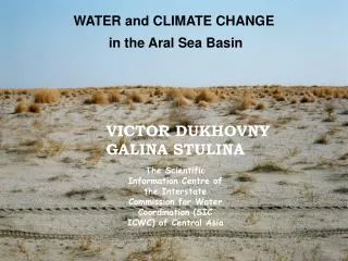
Central Kenya • Mt. Kenya as water source • A latitude of 0 degrees, on the equator! • Runs on tourism, agriculture, grain farming, and ranching
Water Solutions • According to WWF, deep water temperatures have risen 0.2-0.7 degrees C since early 1900s • Map shows the predicted increase in agricultural land use by 2050, from IFPRI
Mpala Research Center • 200 square km of reserve land; associated property in the town of Nanyuki • Students, professors, and researchers from around the globe • “Mpala is strongly committed to using [its] research to benefit the surrounding communities, the nation of Kenya, and global conservation efforts as a whole.”
Part 1: Soil Respiration Jonathan Choi
Part 2: Irrigation Analysis Eliza Harkins
Rural Water Systems in Kenya • River Pipes House • River • Streamflow gauges • Construction of sensor • Government involved • Pipes • 2 kinds of sensors: mechanical and electronic • Locations unknown • Households • Surveys of household water use • Streamflow at site – bucket and stopwatch
Responsibilities in Kenya • Creating 1 page leave behind • GPS mapping of pipe systems • Recording and cataloguing work done • Putting together and installing of “gadgets” • GPS of water tower gulley • Creating manuals/documents for equipment use • Assisted in obtaining streamflow data from WRMA
Responsibilities at Princeton • Program for predicting streamflow based on depth of the river • Using GIS software to create maps of the pipes • Data examination
Challenges Different fields working on same project Meter malfunction, changing measurement technique Community differences in water allocation Ill – timed experimentation length