Slide Note
0 likes | 50 Vues
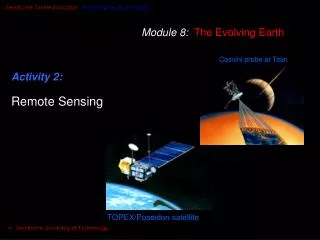
Remote sensing involves acquiring and interpreting data about objects or areas without direct contact. This technology utilizes electromagnetic radiation, spectral reflectance, and various sensors on platforms like satellites and aircraft. By understanding the principles of energy interaction and image interpretation, remote sensing has diverse applications in environmental monitoring, agriculture, urban planning, and more.

E N D
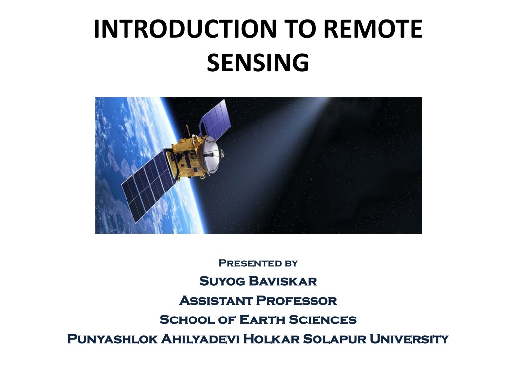
INTRODUCTION TO REMOTE SENSING Presented by Suyog Baviskar Suyog Baviskar Assistant Professor Assistant Professor School of Earth Sciences School of Earth Sciences Punyashlok Ahilyadevi Holkar Solapur University Punyashlok Ahilyadevi Holkar Solapur University
REMOTE SENSING • “Remote Sensing is defined as the acquisition of information about an object without being in physical contact with it." [Floyd F. Sabins] • "Remote Sensing is the science of acquiring, processing and interpreting images that record the interaction between electromagnetic [Lillesand and Kiefer] • "Remote Sensing is the science and art of obtaining information about an object, area, or phenomenon through the analysis of data acquired by a device that is not in contact with the object, area, or phenomenon under investigation." [Charles Elachi] energy and matter."
HISTORY OF REMOTE SENSING • The idea and practice of remote sensing first developed in the 1840s, when it was realized that a different and perhaps more revealing view of a particular landscape could be obtained by taking a photograph from a vantage point, such as an incline or building, and efforts were made to look down at the Earth’s surface by taking pictures with the aid of cameras secured to tethered balloons, for purposes of topographic mapping
PRINCIPLES OF REMOTE SENSING 1. Energy Source or Illumination (A) 2. Radiation and the Atmosphere (B) 3. Interaction with the Target (C) 4. Recording of Energy by the Sensor (D) 5. Transmission, Reception, and Processing (E) 6. Interpretation and Analysis (F) 7. Application (G)
ELECTROMAGNETIC RADIATION (EMR) Electromagnetic energy or electromagnetic radiation (EMR) is the energy propagated in the form of an advancing interaction between electric and magnetic fields [Floyd F. Sabins]. It travels with the velocity of light. Visible light, ultraviolet rays, infrared rays, heat, radio waves, X-rays all are different forms of electro-magnetic energy.
INTERACTION OF EMR WITH EARTH'S SURFACE Electromagnetic radiation that passes through the earth's atmosphere without being absorbed or scattered reaches the earth's surface to interact in different ways with different materials constituting the surface. There are three ways in which the total incident energy will interact with earth's surface materials. •Absorption •Transmission •Reflection Absorption (A) occurs when radiation (energy) is absorbed into the target while transmission (T) occurs when radiation passes through a target. Reflection (R) occurs when radiation "bounces" off the target and is redirected.
SPECTRAL REFLECTANCE OF VEGETATION, SOIL, AND WATER • Spectral signature is the variation of reflectance or emittance of a material with respect to wavelengths. Spectral reflectance curves for three basic types of earth features: Healthy green vegetation, Dry bare soil (grey-brown loam), and Clear lake water. The lines in this figure represent average reflectance curves compiled by measuring a large sample of features •
TYPES OF REMOTE SENSING • Active sensors emit energy in order to scan objects and areas whereupon a sensor then detects and measures the radiation that is reflected or backscattered from the target. RADAR and LiDAR are examples of active remote sensing where the time delay between emission and return is measured, establishing the location, speed and direction of an object. (Sun is absent) • Passive sensors gather radiation that is emitted or reflected by the object or surrounding areas. Reflected sunlight is the most common source of radiation measured by passive sensors. Examples of passive remote sensors include film photography, infrared, charge- coupled devices, and radiometers. (Sun is present)
TYPES OF PLATFORMS IN REMOTE SENSING • Ground-based sensors are often used to record detailed information about the surface which is compared with information collected from aircraft or satellite sensors. In some cases, this can be used to better characterize the target which is being imaged by these other sensors, making it possible to better understand the information in the imagery Aerial platforms are primarily stable wing aircraft, although helicopters are occasionally used. Aircraft are often used to collect very detailed images and facilitate the collection of data over virtually any portion of the Earth's surface at any time. In space, remote sensing is sometimes conducted from the space shuttle or, more commonly, from satellites. Satellites are objects which revolve around another object - in this case, the Earth. • •
ELEMENT OF IMAGE INTERPRETATION IN REMOTE SENSING • Tone refers to the relative brightness or colour of objects in an image • Shape refers to the general form, structure, or outline of individual objects. • Size of objects in an image is a function of scale. • Pattern refers to the spatial arrangement of visibly discernible objects. • Texture refers to the arrangement and frequency of tonal variation in particular areas of an image. • Shadow is also helpful in interpretation as it may provide an idea of the profile and relative height of a target or targets which may make identification easier • Association takes into account the relationship between other recognizable objects or features in proximity to the target of interest.
Advantages of Remote Sensing • Remotely sensed imaging systems have several advantages over camera photography, from which it differs significantly in the following two ways: (i) It is not just restricted to the visible part of the electromagnetic spectrum (from about 0.4 to 0.7 micrometers in wavelength), but can also measure energy at wavelengths invisible to the eye, such as near-infrared, thermal infrared and radio wavelengths. (ii) Most remote sensing instruments can record different wavelengths at the same time, yielding not one but numerous images of the same location on the ground, each corresponding to a different range of wavelengths called a band.
Limitations of Remote Sensing • Although remote sensing has many advantages over ground-based survey, yet remote sensing has not totally replaced ground-based survey methods, largely because of some limitations with this technology, which still exist. (i) Cost of data collection and data purchase. (ii) Problems with data analysis and interpretation. (iii) Potential limitations with spatial, spectral and temporal resolutions of the various sensors. (iv) Problems with all weather capability as some sensors cannot ‘see’ through cloud.
Applications of Remote Sensing • Assessment and monitoring of vegetation types and their status. • Agricultural property management planning and crop yield assessment. • Soil surveys including mineral and petroleum exploration. • Monitoring and planning of water resources and groundwater exploration. • Urban planning. • Forest Resource Management: • Biodiversity Mapping • Land use land cover
References • • • “Remote Sensing: Principles and Interpretation” 3rd Edition by Floyd F. Sabins "Remote Sensing and Image Interpretation" by Lillesand and Kiefer "Introduction to the Physics and Techniques of Remote Sensing" by Charles Elachi “Fundamentals of Remote Sensing Natural Resources” by Natural Resources canada “Remote Sensing: Introduction and Basic Concepts” by D Nagesh Kumar, IISc, Bangalore https://www.lgsonic.com/blogs/map-algal-blooms-satellite-remote-sensing- technology/ Remote Sensing: History, Principles and Types by Shashank Goswami https://wiki.seg.org/wiki/User:JudySmith/Remote_Sensing https://www.planetek.it/eng/training_courses/online_manuals/on_line_cours e_of_remote_sensing • • • • • •
Thank you suyog22kar@gmail.com