Download
1 / 9
100 likes | 129 Vues
Preliminary assessment of ash cloud heights retrieved from SEVIRI and MODIS on May 6-7, 2010 over the Atlantic Ocean. Spaceborne lidar observations from CALIPSO provided accuracy validation for infrared ash height retrievals. The study includes details on retrieval algorithms, impact of parallax, and comparisons with lidar measurements. Findings show good agreement with lidar data, with some influence from boundary layer clouds. More detailed quantitative analysis is pending release of additional data products.

E N D
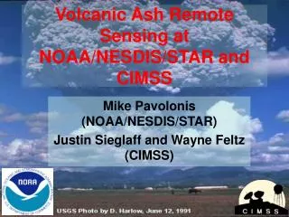
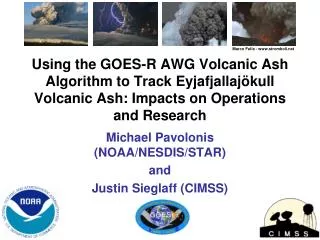
Preliminary Assessment of Eyjafjallajokull Ash Heights Retrieved from SEVIRI and MODIS on May 6 - 7, 2010 Mike Pavolonis (NOAA/NESDIS/STAR)
Overview • Spaceborne lidar observations from CALIPSO were used to assess the accuracy of the infrared ash height retrievals performed using SEVIRI and MODIS on May 6 - 7, 2010 over the Atlantic Ocean. • The infrared retrieval algorithm used to determine ash cloud height accounts for transmission of radiation through semi-transparent ash clouds (e.g. the cloud is NOT assumed to be a blackbody). • The SEVIRI measurements were NOT corrected for parallax, which may slightly impact the comparisons (especially for CASE #2). • Special thanks to the CALIPSO Team at NASA Langley for providing expedited L1 data. • The lidar total attenuated backscatter has a vertical resolution of 60 m, which allows for a high quality depiction of the ash cloud top.
CASE #1: May 6, 2010 (13:45 UTC) Aqua MODIS End of CALIOP cross section Met-9 SEVIRI Start of CALIOP cross section Ash and ice clouds Ash cloud overlapping liquid water cloud CALIOP 532 nm total attenuated backscatter
White circles: MODIS ash height retrievals Aqua MODIS CASE #1: May 6, 2010 (13:45 UTC) White circles: SEVIRI ash height retrievals Magenta circles: 11 m brightness temperature inferred height Met-9 SEVIRI
CASE #2: May 7, 2010 (03:15 UTC) Ireland Aqua MODIS Startof CALIOP cross section Met-9 SEVIRI End of CALIOP cross section Ash clouds overlapping boundary layer cloud CALIOP 532 nm total attenuated backscatter
White circles: MODIS ash height retrievals Aqua MODIS CASE #2: May 7, 2010 (03:15 UTC) Magenta circles: 11 m brightness temperature inferred height White circles: SEVIRI ash height retrievals Met-9 SEVIRI
CASE #3: May 7, 2010 (14:25 UTC) Aqua MODIS Endof CALIOP cross section Met-9 SEVIRI Start of CALIOP cross section Ash clouds overlapping boundary layer cloud CALIOP 532 nm total attenuated backscatter
White circles: MODIS ash height retrievals Aqua MODIS CASE #3: May 7, 2010 (14:25 UTC) White circles: SEVIRI ash height retrievals Magenta circles: 11 m brightness temperature inferred height Met-9 SEVIRI
Conclusions • The retrieval algorithm used to determine ash cloud height accounts for transmission of radiation through semi-transparent ash clouds (e.g. the cloud is NOT assumed to be a blackbody). This is critical since all of the ash clouds observed by CALIOP were semi-transparent to infrared radiation. • With the exception of cloud edges, the ash heights retrieved using multi-spectral infrared measurements from SEVIRI and MODIS are in good agreement with spaceborne lidar measurements (generally within 3 km). • The larger view angles associated with the SEVIRI measurements allow for better ash detection and ash height retrievals (e.g. higher signal to noise). Gu et al. (2005) also showed that the longer path length through the ash clouds increases sensitivity. • Boundary layer stratus cloud decks beneath the ash clouds are likely influencing the retrievals to some degree (especially in Case #3). • All of the ash clouds observed by CALIOP were semi-transparent, thus 11 m brightness temperature inferred cloud heights have a severe low bias. • A more quantitative assessment will be performed when the CALIPSO cloud layers data product is released for these dates.