
Uploaded by
purity
22 SLIDES
648 VUES
220LIKES
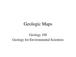
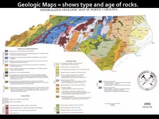
Geologic Maps
DESCRIPTION
Geologic Maps. Geology 100 Geology for Environmental Scientists. Geologic Map of the US. Symbols found on geologic maps. Horizontal Strata. Geologic map of part of the Grand Canyon. Each color represents a different formation. Inclined Strata. Dome.
Download
1 / 22
Télécharger la présentation 
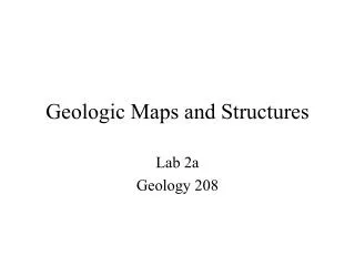
Geologic Maps
An Image/Link below is provided (as is) to download presentation
Download Policy: Content on the Website is provided to you AS IS for your information and personal use and may not be sold / licensed / shared on other websites without getting consent from its author.
Content is provided to you AS IS for your information and personal use only.
Download presentation by click this link.
While downloading, if for some reason you are not able to download a presentation, the publisher may have deleted the file from their server.
During download, if you can't get a presentation, the file might be deleted by the publisher.
E N D
Presentation Transcript
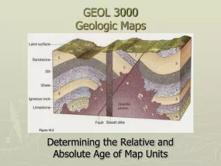
Geologic Maps Geology 100 Geology for Environmental Scientists
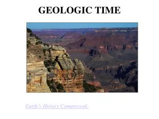
Geologic map of part of the Grand Canyon. Each color represents a different formation.
Geologic map of the Black Hills of South Dakota, a large structural dome.
Satellite image of central Appalachians Area in last picture
False color satellite image of folded sedimentary rocks, central Appalachian Mountains.
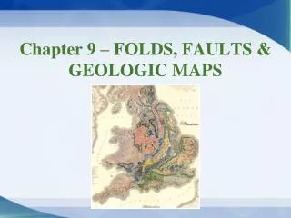
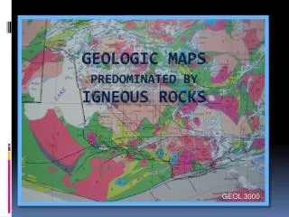
Geologic Map of the southern Appalachians. Note the Nashville Dome, folds, faults, and an unconformity.


More Related
Audio
Live Player